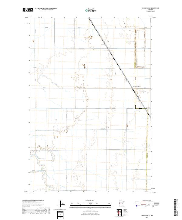
2022 Map of Charlesville
USGS Topo · Published 2022About this map
Charlesville stands at the intersection of local routes along the Traverse Co-Grant Co border, serving as a focal point in a landscape shaped by agricultural grid lines and winding waterways. This portion of the Red River Valley shows a complex drainage system, where the Mustinka River and Twelvemile Cr snake through the plains. The presence of an Old Channel and the splitting of Fivemile Creek (also labeled Fivemile Cr) suggests a history of natural or engineered watercourse migration common in this flat, fertile region. The terrain is structured by a strict section-line road network, including Co Hwy 18 and Co Hwy 16, which connect isolated farmsteads across the townships of t129n r45w and t128n r45w.
Find a feature on this map
22 named features on this map. Tap any name to fly to it.
Don’t see what you’re looking for? This feature index may not catch every label — zoom into the map to look around manually.
Map Details
Editions of this 2022 Charlesville Map
This is the sole edition of this map. No revisions or reprints were ever made.
Other maps of this area

1910 · Wendell
USGS Topo · 1:62,500

1911 · Herman
USGS Topo · 1:62,500

1913 · Wendell
USGS Topo · 1:62,500

1951 · Wheaton
USGS Topo · 1:62,500

1951 · Campbell
USGS Topo · 1:62,500

1953 · Milbank
USGS Topo · 1:250,000

1953 · Fargo
USGS Topo · 1:250,000

1956 · Fargo
USGS Topo · 1:250,000

1958 · Milbank
USGS Topo · 1:250,000

1973 · Herman NW
USGS Topo · 1:24,000