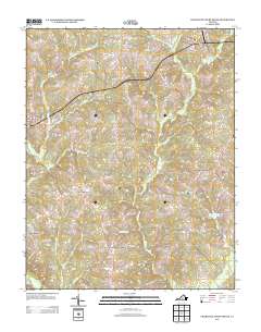
2013 Map of Charlotte Court House
USGS Topo · Published 2013About this map
Charlotte Court House serves as the focal point for this rural Virginia landscape, where small settlements and a network of named branches and creeks define the local geography. The area around Womacks and Fears Corner shows a land still organized by road intersections and watercourses, such as Sandy Cr and Wards Fork Cr. The presence of the Phenix Lookout Tower near Womacks highlights the region's historic fire observation infrastructure, while the Layne Farm Airstrip near Cullen reflects local aviation history.
Find a feature on this map
94 named features on this map. Tap any name to fly to it.
Don’t see what you’re looking for? This feature index may not catch every label — zoom into the map to look around manually.
Map Details
Editions of this 2013 Charlotte Court House Map
This is the sole edition of this map. No revisions or reprints were ever made.
Other maps of this area

1892 · Appomattox
USGS Topo · 1:125,000

1947 · Roanoke
USGS Topo · 1:250,000

1953 · Greensboro
USGS Topo · 1:250,000

1954 · Greensboro
USGS Topo · 1:250,000

1954 · Clover
USGS Topo · 1:62,500

1954 · Halifax
USGS Topo · 1:62,500

1956 · Brookneal
USGS Topo · 1:62,500

1956 · Charlotte Court House
USGS Topo · 1:62,500

1959 · Roanoke
USGS Topo · 1:250,000

1962 · Greensboro
USGS Topo · 1:250,000