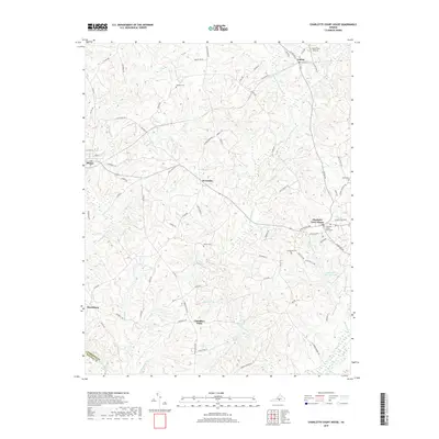
2019 Map of Charlotte Court House
USGS Topo · Published 2019About this map
The Charlotte County Courthouse serves as the historic and civic center of this Virginia landscape, surrounded by a network of rural settlements including Charlotte Court House, Cullen, and Phenix. The terrain is defined by the complex drainage of Wards Fork Creek and Cub Creek, where small family-named landmarks and cemeteries provide critical touchpoints for genealogical research. Locations like Gillispie Cem, Martin Cem, and Evergreen Cem are documented alongside crossroads communities such as Womacks and Chandlers Forks. Local infrastructure is represented by features like the Layne Farm Airstrip, while the southern border captures the divide between Charlotte and Halifax counties. This topographic study documents the persistent rural character of the region, where legacy property lines and small-scale watercourses like Roaches Br continue to shape the local geography.
Find a feature on this map
84 named features on this map. Tap any name to fly to it.
Don’t see what you’re looking for? This feature index may not catch every label — zoom into the map to look around manually.
Map Details
Editions of this 2019 Charlotte Court House Map
This is the sole edition of this map. No revisions or reprints were ever made.
Other maps of this area

1892 · Appomattox
USGS Topo · 1:125,000

1947 · Roanoke
USGS Topo · 1:250,000

1953 · Greensboro
USGS Topo · 1:250,000

1954 · Greensboro
USGS Topo · 1:250,000

1954 · Clover
USGS Topo · 1:62,500

1954 · Halifax
USGS Topo · 1:62,500

1956 · Brookneal
USGS Topo · 1:62,500

1956 · Charlotte Court House
USGS Topo · 1:62,500

1959 · Roanoke
USGS Topo · 1:250,000

1962 · Greensboro
USGS Topo · 1:250,000