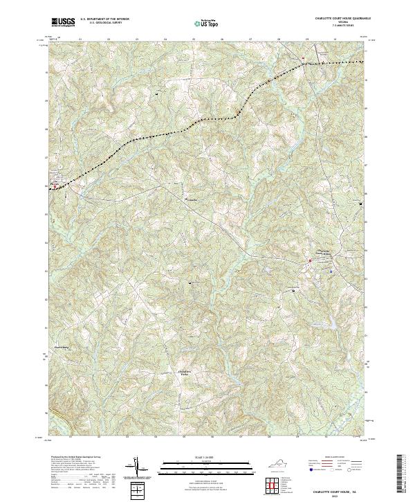
2022 Map of Charlotte Court House
USGS Topo · Published 2022About this map
Charlotte Court House serves as the focal point of this Virginia landscape, anchored by the Charlotte County Courthouse and its surrounding network of local roads and historic properties. The area is defined by a dendritic drainage system where Wards Fork Cr and Roanoke Cr carve through the terrain, creating a series of ridges and valleys occupied by long-standing settlements like Cullen, Phenix, and Womacks.
Find a feature on this map
86 named features on this map. Tap any name to fly to it.
Don’t see what you’re looking for? This feature index may not catch every label — zoom into the map to look around manually.
Map Details
Editions of this 2022 Charlotte Court House Map
This is the sole edition of this map. No revisions or reprints were ever made.
Other maps of this area

1892 · Appomattox
USGS Topo · 1:125,000

1947 · Roanoke
USGS Topo · 1:250,000

1953 · Greensboro
USGS Topo · 1:250,000

1954 · Greensboro
USGS Topo · 1:250,000

1954 · Clover
USGS Topo · 1:62,500

1954 · Halifax
USGS Topo · 1:62,500

1956 · Brookneal
USGS Topo · 1:62,500

1956 · Charlotte Court House
USGS Topo · 1:62,500

1959 · Roanoke
USGS Topo · 1:250,000

1962 · Greensboro
USGS Topo · 1:250,000