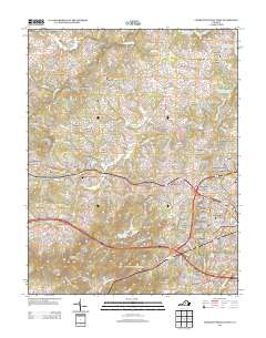
2013 Map of Charlottesville West
USGS Topo · Published 2013About this map
Lewis Mountain and the institutional landscape of the university dominate the eastern edge of this survey, featuring landmarks like the Leander J McCormick Observatory and the National Radio Astronomy Observatory. The terrain transitions from the developed suburbs of Georgetown Green and Ivy Farms into the rolling foothills of the Ragged Mountains to the southwest. Major water features including the South Fork Rivanna River Reservoir and Charlottesville Reservoir define the local hydrology, while the Mechums River and Moormans River converge near the settlement of Millington.
Find a feature on this map
93 named features on this map. Tap any name to fly to it.
Don’t see what you’re looking for? This feature index may not catch every label — zoom into the map to look around manually.
Map Details
Editions of this 2013 Charlottesville West Map
This is the sole edition of this map. No revisions or reprints were ever made.
Other maps of this area

1891 · Palmyra
USGS Topo · 1:125,000

1892 · Buckingham
USGS Topo · 1:125,000

1892 · Gordonsville
USGS Topo · 1:125,000

1892 · Harrisonburg
USGS Topo · 1:125,000

1895 · Palmyra
USGS Topo · 1:125,000

1897 · Palmyra
USGS Topo · 1:125,000
1929 · Covesville
USGS Topo · 1:62,500
1931 · University
USGS Topo · 1:62,500
1935 · Charlottesville
USGS Topo · 1:62,500
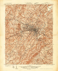
1935 · Charlottesville And Vicinity
USGS Topo · 1:31,680