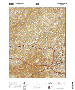
2019 Map of Charlottesville West
USGS Topo · Published 2019About this map
The University of Virginia anchors the eastern edge of this region, where the academic grounds transition into the suburban and rural landscapes of Albemarle County. The 2019 survey shows the dense footprint of Charlottesville spreading westward through neighborhoods like University Heights and Hessian Hills. This transition is clearly marked by the route of Us 250 and the CSX Transportation railroad, which parallel the older settlement patterns of Ivy and Farmington.
Find a feature on this map
57 named features on this map. Tap any name to fly to it.
Don’t see what you’re looking for? This feature index may not catch every label — zoom into the map to look around manually.
Map Details
Editions of this 2019 Charlottesville West Map
This is the sole edition of this map. No revisions or reprints were ever made.
Other maps of this area

1891 · Palmyra
USGS Topo · 1:125,000

1892 · Buckingham
USGS Topo · 1:125,000

1892 · Gordonsville
USGS Topo · 1:125,000

1892 · Harrisonburg
USGS Topo · 1:125,000

1895 · Palmyra
USGS Topo · 1:125,000

1897 · Palmyra
USGS Topo · 1:125,000

1929 · Covesville
USGS Topo · 1:62,500

1931 · University
USGS Topo · 1:62,500

1935 · Charlottesville
USGS Topo · 1:62,500

1935 · Charlottesville And Vicinity
USGS Topo · 1:31,680