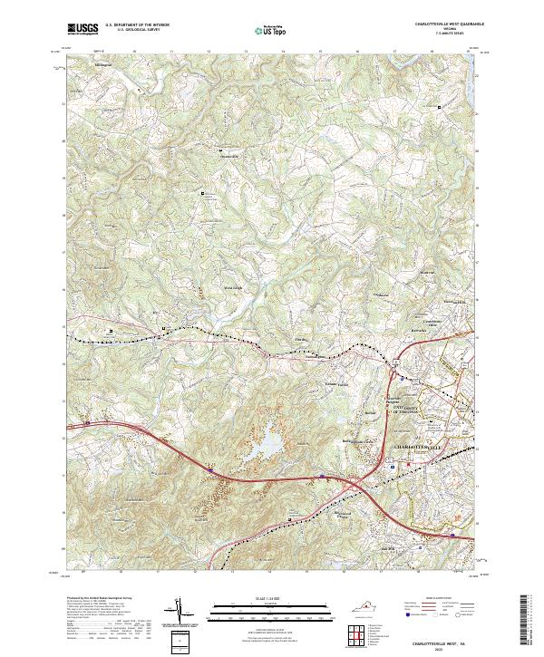
2022 Map of Charlottesville West
USGS Topo · Published 2022About this map
The University of Virginia campus and the western expansion of Charlottesville dominate the eastern half of this landscape, where the historic East Lawn and Madison Bowl meet modern residential enclaves like University Heights and Ednam Forest. This survey captures the transition from the dense urban and academic core to the foothills of the Blue Ridge, punctuated by the Ragged Mountains and significant peaks such as Bear Den Mtn and Woodson Mtn.
Find a feature on this map
64 named features on this map. Tap any name to fly to it.
Don’t see what you’re looking for? This feature index may not catch every label — zoom into the map to look around manually.
Map Details
Editions of this 2022 Charlottesville West Map
This is the sole edition of this map. No revisions or reprints were ever made.
Other maps of this area

1891 · Palmyra
USGS Topo · 1:125,000

1892 · Buckingham
USGS Topo · 1:125,000

1892 · Gordonsville
USGS Topo · 1:125,000

1892 · Harrisonburg
USGS Topo · 1:125,000

1895 · Palmyra
USGS Topo · 1:125,000

1897 · Palmyra
USGS Topo · 1:125,000

1929 · Covesville
USGS Topo · 1:62,500

1931 · University
USGS Topo · 1:62,500

1935 · Charlottesville
USGS Topo · 1:62,500

1935 · Charlottesville And Vicinity
USGS Topo · 1:31,680