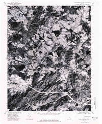
1977 Map of Charlottesville West
USGS Topo · Published 1982About this map
Charlottesville and its western rural surroundings are captured in this late 1970s orthophotoquad, showing a landscape of transition between developing outskirts and established agriculture. The imagery highlights the suburban expansion at Farmington and the clear boundaries of the Charlottesville Reservoir. Moving northwest, the terrain becomes more varied as it follows the winding course of the Moormans River and S Fk Rivanna R.
Find a feature on this map
10 named features on this map. Tap any name to fly to it.
Don’t see what you’re looking for? This feature index may not catch every label — zoom into the map to look around manually.
Map Details
Editions of this 1977 Charlottesville West Map
This is the sole edition of this map. No revisions or reprints were ever made.
Other maps of this area

1891 · Palmyra
USGS Topo · 1:125,000

1892 · Buckingham
USGS Topo · 1:125,000

1892 · Gordonsville
USGS Topo · 1:125,000

1892 · Harrisonburg
USGS Topo · 1:125,000

1895 · Palmyra
USGS Topo · 1:125,000

1897 · Palmyra
USGS Topo · 1:125,000

1929 · Covesville
USGS Topo · 1:62,500

1931 · University
USGS Topo · 1:62,500

1935 · Charlottesville
USGS Topo · 1:62,500

1935 · Charlottesville And Vicinity
USGS Topo · 1:31,680