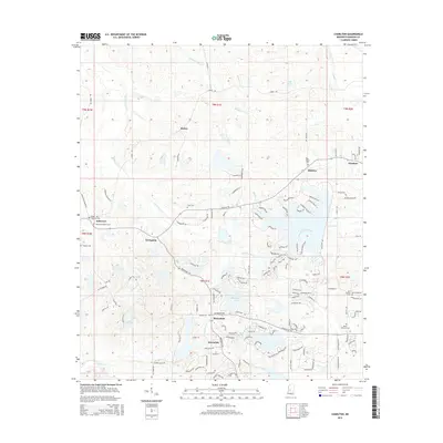
2015 Map of Charlton
USGS Topo · Published 2015About this map
The suburban and rural landscape north of Jackson in Madison County is defined by modern residential growth and deep-rooted family landmarks. Recent development is evident near Annandale and Mannsdale, where intricate networks of roads like Northshore Blvd and Hampton Way wrap around Stribling Lake and smaller private water bodies. This transition from open country to planned communities is juxtaposed with the area's older history, marked by small settlements such as Stokes and Livingston.
Find a feature on this map
136 named features on this map. Tap any name to fly to it.
Don’t see what you’re looking for? This feature index may not catch every label — zoom into the map to look around manually.
Map Details
Editions of this 2015 Charlton Map
This is the sole edition of this map. No revisions or reprints were ever made.
Other maps of this area

1903 · Jackson
USGS Topo · 1:125,000

1905 · Jackson
USGS Topo · 1:48,000

1908 · Jackson
USGS Topo · 1:62,500

1934 · Raymond
USGS Topo · 1:48,000

1937 · Raymond
USGS Topo · 1:62,500

1942 · Raymond
USGS Topo · 1:62,500

1955 · Jackson
USGS Topo · 1:250,000

1961 · Jackson
USGS Topo · 1:250,000

1961 · Canton
USGS Topo · 1:62,500

1962 · Jackson
USGS Topo · 1:250,000