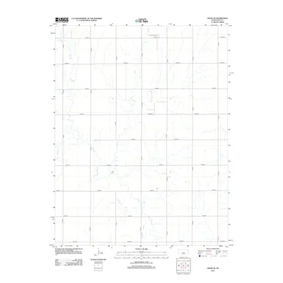
2012 Map of Chase NE
USGS Topo · Published 2012About this map
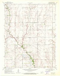
Frederick Oil Field occupies the northern reaches of this landscape in rural Rice County, signaling the persistent role of energy extraction in the central Kansas prairie. The terrain is defined by a series of south-flowing drainage systems, including the meandering paths of Plum Cr, Lost Cr, and Cow Cr. These waterways cut through a strictly organized section-line road grid, where thoroughfares like Avenue C and 7th Rd facilitate movement across the agricultural interior. The map illustrates a classic Great Plains development pattern, where large-scale farming and oil production coexist within a geometry of numbered roads and avenues. The lack of concentrated town sites emphasizes the area's primary function as an industrial and agricultural resource zone, with small ranching or oil-service structures scattered along the intersections of the gridded section lines.
Find a feature on this map
20 named features on this map. Tap any name to fly to it.
Don’t see what you’re looking for? This feature index may not catch every label — zoom into the map to look around manually.
Map Details
Editions of this 2012 Chase NE Map
This is the sole edition of this map. No revisions or reprints were ever made.
Other maps of this area

1894 · Ellsworth
USGS Topo · 1:125,000

1894 · Lyons
USGS Topo · 1:125,000

1955 · Great Bend
USGS Topo · 1:250,000

1957 · Great Bend
USGS Topo · 1:250,000

1958 · Great Bend
USGS Topo · 1:250,000
1964 · Holyrood
USGS Topo · 1:24,000
1964 · Geneseo
USGS Topo · 1:24,000
1964 · Lorraine
USGS Topo · 1:24,000

1970 · Lyons
USGS Topo · 1:24,000
1970 · Chase NE
USGS Topo · 1:24,000