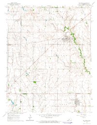
1964 Map of Holyrood
USGS Topo · Published 1965About this map
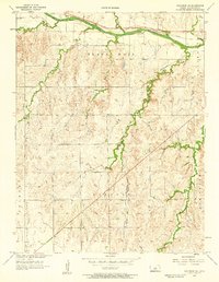
Holyrood and Bushton anchor this mid-1960s survey of the central Kansas prairie, where the landscape is defined by the intersection of legacy rail lines and a burgeoning petroleum industry. The Atchison Topeka and Santa Fe and Missouri Pacific railroads cut across the territory, serving as the backbone for these agricultural and industrial hubs. Outside the town limits, the land is heavily marked by energy extraction, featuring extensive operations like the Kraft-Prusa Oil Field, West Oil Field, and Heiken North Oil Field. This concentration of oil wells and named fields reflects the post-war economic shift of the region. Local history is preserved in the location of the Bushton Cem and the small settlement of Farhman, while natural features like Plum Creek and Calf Creek provide drainage through the undulating terrain of the Valley area.
Find a feature on this map
30 named features on this map. Tap any name to fly to it.
Don’t see what you’re looking for? This feature index may not catch every label — zoom into the map to look around manually.
Map Details
Editions of this 1964 Holyrood Map
This is the sole edition of this map. No revisions or reprints were ever made.
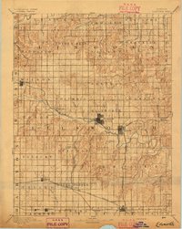
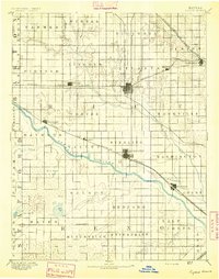
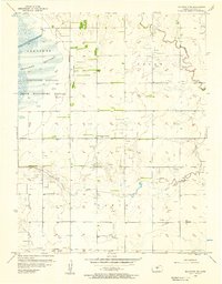
Other maps of this area

1891 · Great Bend
USGS Topo · 1:125,000

1893 · Great Bend
USGS Topo · 1:125,000
1894 · Ellsworth
USGS Topo · 1:125,000
1894 · Lyons
USGS Topo · 1:125,000

1896 · Russell
USGS Topo · 1:125,000

1955 · Great Bend
USGS Topo · 1:250,000
1956 · Ellinwood NE
USGS Topo · 1:24,000

1957 · Great Bend
USGS Topo · 1:250,000
1957 · Holyrood NE
USGS Topo · 1:24,000

1958 · Great Bend
USGS Topo · 1:250,000