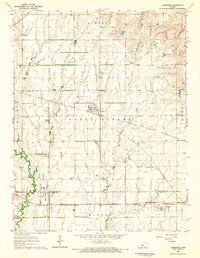
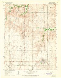
1964 Map of Lorraine
USGS Topo · Published 1965About this map
Lorraine stands at the center of this mid-century Ellsworth County landscape, serving as a critical junction for the Atchison Topeka and Santa Fe and the St Louis - San Francisco railroads. The town’s grid is surrounded by industrial activity, with the Lorraine North Oil Field and numerous Oil Wells signaling the importance of the petroleum industry to the local economy. Further south, the Gas Refinery and Radio Tower near the Missouri Pacific tracks highlight the intersection of mid-century infrastructure and energy production.
Find a feature on this map
24 named features on this map. Tap any name to fly to it.
Don’t see what you’re looking for? This feature index may not catch every label — zoom into the map to look around manually.
Map Details
Editions of this 1964 Lorraine Map
2 editions found
Other maps of this area

1894 · Ellsworth
USGS Topo · 1:125,000

1894 · Lyons
USGS Topo · 1:125,000

1955 · Great Bend
USGS Topo · 1:250,000

1957 · Great Bend
USGS Topo · 1:250,000

1957 · Ellsworth
USGS Topo · 1:24,000

1957 · Holyrood NE
USGS Topo · 1:24,000

1958 · Great Bend
USGS Topo · 1:250,000
1964 · Holyrood NW
USGS Topo · 1:24,000
1964 · Holyrood
USGS Topo · 1:24,000
1964 · Geneseo
USGS Topo · 1:24,000