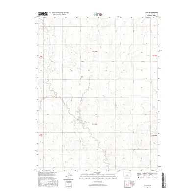
2015 Map of Chase NE
USGS Topo · Published 2015About this map
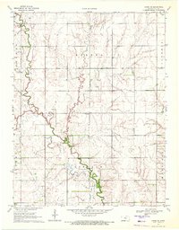
Cow Creek and its tributaries define the undulating topography of this portion of Rice County, where the agricultural grid meets the natural drainage of the Kansas prairie. The landscape is marked by the presence of historical community anchors, including Wesley Chapel Cem and Ebenezer Cem, which serve as significant landmarks for genealogists and local historians tracing early family lineages in the region. The map reveals a highly structured network of section roads, such as Ave C and 9th Rd, that partition the land into the traditional township and range system. This rural landscape is primarily defined by the movement of water through Lost Creek and Plum Creek, illustrating the environmental factors that shaped the placement of farmsteads and rural infrastructure in this part of the state.
Find a feature on this map
27 named features on this map. Tap any name to fly to it.
Don’t see what you’re looking for? This feature index may not catch every label — zoom into the map to look around manually.
Map Details
Editions of this 2015 Chase NE Map
This is the sole edition of this map. No revisions or reprints were ever made.
Other maps of this area

1894 · Ellsworth
USGS Topo · 1:125,000

1894 · Lyons
USGS Topo · 1:125,000

1955 · Great Bend
USGS Topo · 1:250,000

1957 · Great Bend
USGS Topo · 1:250,000

1958 · Great Bend
USGS Topo · 1:250,000
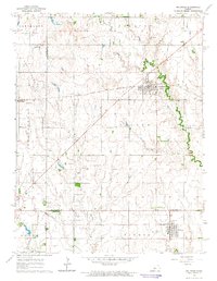
1964 · Holyrood
USGS Topo · 1:24,000
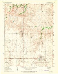
1964 · Geneseo
USGS Topo · 1:24,000
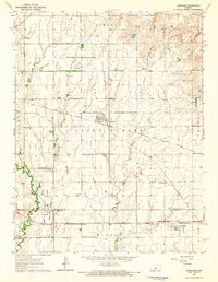
1964 · Lorraine
USGS Topo · 1:24,000

1970 · Lyons
USGS Topo · 1:24,000
1970 · Chase NE
USGS Topo · 1:24,000