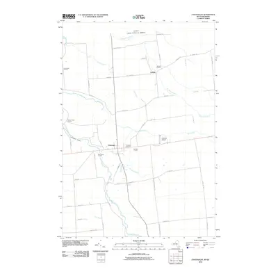
2010 Map of Chateaugay
USGS Topo · Published 2010About this map
Chateaugay sits at a geographic crossroads in northern New York, where the Chateaugay River carves a path toward the international boundary with Canada. This 2010 survey highlights a landscape defined by its waterways and agricultural road network, featuring the dramatic Chateaugay Chasm and the High Falls just south of the main settlement. The northern edge of the map follows the border between the United States and Canada, with rural routes like Rhinehart Rd and Lost Nation Rd tracing the periphery of the town.
Find a feature on this map
52 named features on this map. Tap any name to fly to it.
Don’t see what you’re looking for? This feature index may not catch every label — zoom into the map to look around manually.
Map Details
Editions of this 2010 Chateaugay Map
This is the sole edition of this map. No revisions or reprints were ever made.
Other maps of this area

1915 · Churubusco
USGS Topo · 1:62,500

1915 · Chateaugay
USGS Topo · 1:62,500

1943 · Churubusco
USGS Topo · 1:62,500

1943 · Chateaugay
USGS Topo · 1:62,500

1948 · Ogdensburg
USGS Topo · 1:250,000

1950 · Lake Champlain
USGS Topo · 1:250,000

1951 · Ogdensburg
USGS Topo · 1:250,000

1953 · Ogdensburg
USGS Topo · 1:250,000

1958 · Lake Champlain
USGS Topo · 1:250,000

1961 · Ogdensburg
USGS Topo · 1:250,000