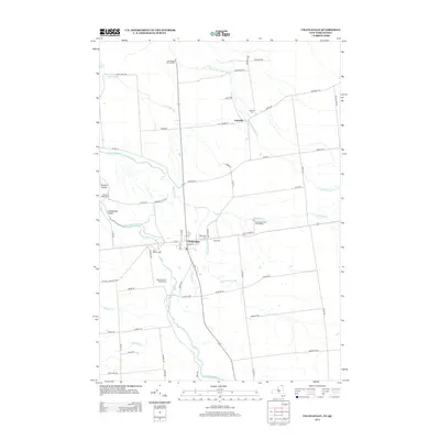
2013 Map of Chateaugay
USGS Topo · Published 2013About this map
The Chateaugay village and its surrounding rural landscapes in Franklin County are meticulously documented in this 2013 survey. Positioned near the northern border, the Chateaugay Port of Entry marks the international connection point, while the Chateaugay River carves a path through the dramatic Chateaugay Chasm and past High Falls. The map reveals a high density of ancestral landmarks, including Saint Patricks Cem, Evergreen Cem, and E Side Cem clustered near the village center.
Find a feature on this map
65 named features on this map. Tap any name to fly to it.
Don’t see what you’re looking for? This feature index may not catch every label — zoom into the map to look around manually.
Map Details
Editions of this 2013 Chateaugay Map
This is the sole edition of this map. No revisions or reprints were ever made.
Other maps of this area

1915 · Churubusco
USGS Topo · 1:62,500

1915 · Chateaugay
USGS Topo · 1:62,500

1943 · Churubusco
USGS Topo · 1:62,500

1943 · Chateaugay
USGS Topo · 1:62,500

1948 · Ogdensburg
USGS Topo · 1:250,000

1950 · Lake Champlain
USGS Topo · 1:250,000

1951 · Ogdensburg
USGS Topo · 1:250,000

1953 · Ogdensburg
USGS Topo · 1:250,000

1958 · Lake Champlain
USGS Topo · 1:250,000

1961 · Ogdensburg
USGS Topo · 1:250,000