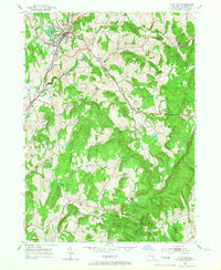
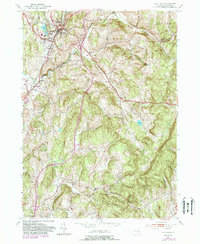
1953 Map of Chatham
USGS Topo · Published 1967About this map
Chatham serves as a primary rail hub in Columbia County, where the New York Central lines converge near the village center. This mid-century landscape is characterized by a network of small agricultural and industrial hamlets, including Buckleyville, Ghent, and Spencertown. The mapping reveals the essential infrastructure of the era, from the Waterworks and Sewage Disposal near Stony Creek to Arnolds Mill situated along the Kline Kill. Local genealogy and social history are well-represented through numerous burial grounds such as the German Cem, Red Rock Cem, and the St James Cem. The topography is defined by significant ridges like Kijk-Uit Mountain in the south, which overlook the valleys of Agawamuck Creek and Punsit Creek. The presence of the County Farm and County Cem near Ghent provides a specific look at 1950s civic and social services in rural New York.
Find a feature on this map
33 named features on this map. Tap any name to fly to it.
Don’t see what you’re looking for? This feature index may not catch every label — zoom into the map to look around manually.
Map Details
Editions of this 1953 Chatham Map
5 editions found
Other maps of this area

1885 · Sheffield
USGS Topo · 1:62,500

1888 · Sheffield
USGS Topo · 1:62,500

1888 · Pittsfield
USGS Topo · 1:62,500

1890 · Pittsfield
USGS Topo · 1:62,500

1891 · Sheffield
USGS Topo · 1:62,500

1893 · Sheffield
USGS Topo · 1:62,500

1893 · Pittsfield
USGS Topo · 1:62,500

1894 · Pittsfield
USGS Topo · 1:62,500

1897 · Pittsfield
USGS Topo · 1:62,500

1897 · Sheffield
USGS Topo · 1:62,500