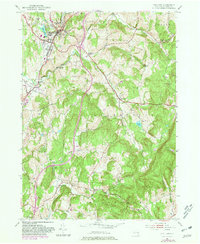
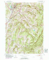
1953 Map of Chatham
USGS Topo · Published 1981About this map
Chatham serves as a primary hub for this Columbia County landscape, where the Conrail line and the Taconic State Parkway intersect the rural agricultural and milling history of the Hudson Valley. This map, based on 1950s data with 1980 revisions, captures the area's transition into a modern corridor while preserving deep-seated local landmarks like Arnolds Mill and the County Farm. Settlement patterns follow the winding paths of Agawamuck Creek and Stony Creek, connecting smaller hamlets like Harlemville, Ghent, and Spencertown.
Find a feature on this map
37 named features on this map. Tap any name to fly to it.
Don’t see what you’re looking for? This feature index may not catch every label — zoom into the map to look around manually.
Map Details
Editions of this 1953 Chatham Map
5 editions found
Other maps of this area

1885 · Sheffield
USGS Topo · 1:62,500

1888 · Sheffield
USGS Topo · 1:62,500

1888 · Pittsfield
USGS Topo · 1:62,500

1890 · Pittsfield
USGS Topo · 1:62,500

1891 · Sheffield
USGS Topo · 1:62,500

1893 · Sheffield
USGS Topo · 1:62,500

1893 · Pittsfield
USGS Topo · 1:62,500

1894 · Pittsfield
USGS Topo · 1:62,500

1897 · Pittsfield
USGS Topo · 1:62,500

1897 · Sheffield
USGS Topo · 1:62,500