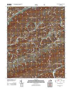
2011 Map of Chatham Hill
USGS Topo · Published 2011About this map
The North Fork Holston River meanders through this portion of Smyth County, defining a landscape of narrow valleys and ridges. Small settlements like Chatham Hill, Ellendale, and Ridgedale serve as focal points for a rural community deeply tied to its geography. The map reveals a high density of family and community burial grounds, including the Mitchell Cemetery, Gillespie Cemetery, and Necessary Cemetery, which are essential for genealogical research in this part of Virginia.
Find a feature on this map
55 named features on this map. Tap any name to fly to it.
Don’t see what you’re looking for? This feature index may not catch every label — zoom into the map to look around manually.
Map Details
Editions of this 2011 Chatham Hill Map
This is the sole edition of this map. No revisions or reprints were ever made.
Other maps of this area

1887 · Pocahontas
USGS Topo · 1:125,000

1889 · Wytheville
USGS Topo · 1:125,000

1891 · Tazewell
USGS Topo · 1:125,000

1891 · Pocahontas
USGS Topo · 1:125,000

1891 · Abingdon
USGS Topo · 1:125,000

1892 · Wytheville
USGS Topo · 1:125,000

1894 · Pocahontas
USGS Topo · 1:125,000

1894 · Abingdon
USGS Topo · 1:125,000

1895 · Tazewell
USGS Topo · 1:125,000

1895 · Pocahontas
USGS Topo · 1:125,000