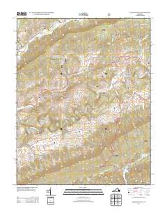
2013 Map of Chatham Hill
USGS Topo · Published 2013About this map
The N Fork Holston River meanders through this portion of Smyth County, defining a landscape shaped by river crossings and mountain passes. Established routes like the BF Buchanan Hwy and the evocative Old Wilderness Rd connect historically significant settlements such as Tannersville and Chatham Hill. The mapping of Ellendale Ford provides a specific point of reference for historical river transit, while the presence of Cave Spring and Bently Hole hints at the underlying karst topography common to the region's ridge-and-valley structure.
Find a feature on this map
51 named features on this map. Tap any name to fly to it.
Don’t see what you’re looking for? This feature index may not catch every label — zoom into the map to look around manually.
Map Details
Editions of this 2013 Chatham Hill Map
This is the sole edition of this map. No revisions or reprints were ever made.
Other maps of this area

1887 · Pocahontas
USGS Topo · 1:125,000

1889 · Wytheville
USGS Topo · 1:125,000

1891 · Tazewell
USGS Topo · 1:125,000

1891 · Pocahontas
USGS Topo · 1:125,000

1891 · Abingdon
USGS Topo · 1:125,000

1892 · Wytheville
USGS Topo · 1:125,000

1894 · Pocahontas
USGS Topo · 1:125,000

1894 · Abingdon
USGS Topo · 1:125,000

1895 · Tazewell
USGS Topo · 1:125,000

1895 · Pocahontas
USGS Topo · 1:125,000