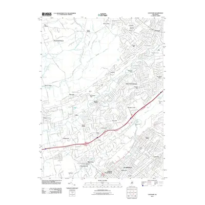
2011 Map of Chatham
USGS Topo · Published 2011About this map
Chatham and the surrounding residential communities of New Providence, Berkeley Heights, and Fanwood are captured here as they appeared in 2011. This densely developed region of Union and Somerset Counties is defined by its transit corridors and the natural curves of the Passaic River and Green Brook. The landscape is a mix of suburban street grids and protected open spaces, such as the Madison Golf Course and the wooded area surrounding Lake Surprise.
Find a feature on this map
68 named features on this map. Tap any name to fly to it.
Don’t see what you’re looking for? This feature index may not catch every label — zoom into the map to look around manually.
Map Details
Editions of this 2011 Chatham Map
This is the sole edition of this map. No revisions or reprints were ever made.
Other maps of this area

1888 · Plainfield
USGS Topo · 1:62,500

1888 · Morristown
USGS Topo · 1:62,500

1888 · Lake Hopatcong
USGS Topo · 1:62,500

1891 · Somerville
USGS Topo · 1:62,500

1893 · Plainfield
USGS Topo · 1:62,500

1893 · Somerville
USGS Topo · 1:62,500

1894 · Morristown
USGS Topo · 1:62,500

1894 · Lake Hopatcong
USGS Topo · 1:62,500

1898 · Lake Hopatcong
USGS Topo · 1:62,500

1898 · Morristown
USGS Topo · 1:62,500