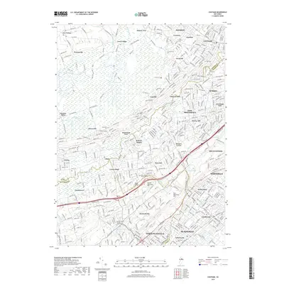
2019 Map of Chatham
USGS Topo · Published 2019About this map
The Passaic River and the sweeping wetlands of the Great Swamp anchor this 2019 survey of the suburban corridor where Morris, Somerset, and Union Counties meet. The landscape is defined by the ridge of Stony Hill and the parallel heights of First Watchung Mtn and Second Watchung Mtn, which have historically channeled development into the valley floors. Established communities like Chatham, Summit, and New Providence are shown in detail, alongside smaller locales such as Meyersville and the intentional community of Free Acres. Genealogists will find numerous burial sites noted, including the North Plainfield Burying Ground Cem and Saint Vincent Cem. The map also traces the route of the Morristown & Erie RR as it threads through the towns of Gillette and Stirling, illustrating the enduring rail-oriented settlement patterns of the region.
Find a feature on this map
98 named features on this map. Tap any name to fly to it.
Don’t see what you’re looking for? This feature index may not catch every label — zoom into the map to look around manually.
Map Details
Editions of this 2019 Chatham Map
This is the sole edition of this map. No revisions or reprints were ever made.
Other maps of this area

1888 · Plainfield
USGS Topo · 1:62,500

1888 · Morristown
USGS Topo · 1:62,500

1888 · Lake Hopatcong
USGS Topo · 1:62,500

1891 · Somerville
USGS Topo · 1:62,500

1893 · Plainfield
USGS Topo · 1:62,500

1893 · Somerville
USGS Topo · 1:62,500

1894 · Morristown
USGS Topo · 1:62,500

1894 · Lake Hopatcong
USGS Topo · 1:62,500

1898 · Lake Hopatcong
USGS Topo · 1:62,500

1898 · Morristown
USGS Topo · 1:62,500