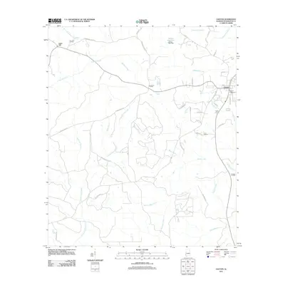
2011 Map of Chatom
USGS Topo · Published 2011About this map
Chatom and the surrounding pine-belt landscape of Washington County are defined by a complex network of waterways and early burial grounds. The county seat’s eastern edge is marked by the Chatom Post Office and Camp Chatom, while the terrain to the west is dominated by the meandering paths of Creeping Swamp Creek, Bassetts Creek, and West Pine Barren Creek. These creek basins, interspersed with family-named sites like George Keen Pond, reflect the historic drainage patterns essential to the local timber and agricultural economy.
Find a feature on this map
46 named features on this map. Tap any name to fly to it.
Don’t see what you’re looking for? This feature index may not catch every label — zoom into the map to look around manually.
Map Details
Editions of this 2011 Chatom Map
This is the sole edition of this map. No revisions or reprints were ever made.
Other maps of this area

1943 · McIntosh
USGS Topo · 1:62,500

1944 · McIntosh
USGS Topo · 1:62,500

1953 · Hattiesburg
USGS Topo · 1:250,000

1958 · Hattiesburg
USGS Topo · 1:250,000

1971 · Bigbee
USGS Topo · 1:24,000

1974 · Fruitdale
USGS Topo · 1:24,000

1974 · Millry South
USGS Topo · 1:24,000

1974 · Chatom
USGS Topo · 1:24,000

1974 · State Line
USGS Topo · 1:24,000

1974 · Copeland
USGS Topo · 1:24,000