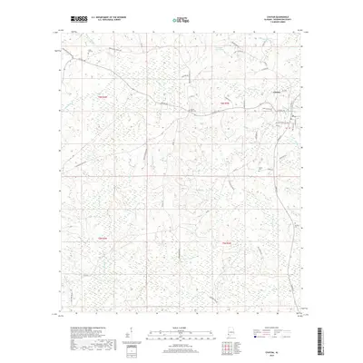
2018 Map of Chatom
USGS Topo · Published 2018About this map
The town of Chatom serves as the focal point for this Southwest Alabama landscape, characterized by a complex network of waterways and low-lying wetlands. Historically significant family burial grounds such as Laton Hill Cem, Spring Bank Cem, and Turner Cem are distributed across the township lines of T6N and T5N, providing essential data points for local genealogy. The terrain is deeply defined by meandering drainage systems, notably Beaver Dam Cr and Bassetts Cr, which transition into saturated areas like Creeping Swamp Cr. This map documents the rural road network connecting isolated homesteads and agricultural tracts, with primary routes like Central Ave and Jordan St linking the core settlement to the surrounding countryside. Smaller water bodies like George Keen Pond and Coaker Pond highlight the importance of local hydrology in this part of Washington County.
Find a feature on this map
53 named features on this map. Tap any name to fly to it.
Don’t see what you’re looking for? This feature index may not catch every label — zoom into the map to look around manually.
Map Details
Editions of this 2018 Chatom Map
This is the sole edition of this map. No revisions or reprints were ever made.
Other maps of this area

1943 · McIntosh
USGS Topo · 1:62,500

1944 · McIntosh
USGS Topo · 1:62,500

1953 · Hattiesburg
USGS Topo · 1:250,000

1958 · Hattiesburg
USGS Topo · 1:250,000

1971 · Bigbee
USGS Topo · 1:24,000

1974 · Fruitdale
USGS Topo · 1:24,000

1974 · Millry South
USGS Topo · 1:24,000

1974 · Chatom
USGS Topo · 1:24,000

1974 · State Line
USGS Topo · 1:24,000

1974 · Copeland
USGS Topo · 1:24,000