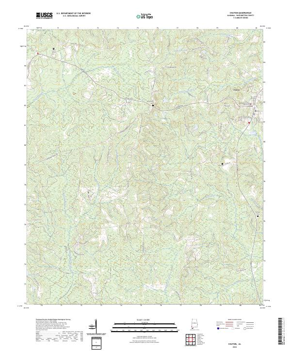
2024 Map of Chatom
USGS Topo · Published 2024About this map
The Washington County Courthouse stands as the central landmark of Chatom, Alabama, anchoring this 2024 landscape in the Piney Woods. The settlement is defined by its rural grid and a complex network of waterways, including Bassetts Creek, Beaver Dam Creek, and Red Bank Creek, which drain the surrounding wetlands. For genealogists, the map identifies several distinct burial grounds such as Laton Hill Cem, Spring Bank Cem, and Fairhope Cem, alongside local houses of worship like Spring Bank Ch.
Find a feature on this map
59 named features on this map. Tap any name to fly to it.
Don’t see what you’re looking for? This feature index may not catch every label — zoom into the map to look around manually.
Map Details
Editions of this 2024 Chatom Map
This is the sole edition of this map. No revisions or reprints were ever made.
Other maps of this area

1943 · McIntosh
USGS Topo · 1:62,500

1944 · McIntosh
USGS Topo · 1:62,500

1953 · Hattiesburg
USGS Topo · 1:250,000

1958 · Hattiesburg
USGS Topo · 1:250,000

1971 · Bigbee
USGS Topo · 1:24,000

1974 · Fruitdale
USGS Topo · 1:24,000

1974 · Millry South
USGS Topo · 1:24,000

1974 · Chatom
USGS Topo · 1:24,000

1974 · State Line
USGS Topo · 1:24,000

1974 · Copeland
USGS Topo · 1:24,000