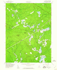
1957 Map of Chatsworth
USGS Topo · Published 1960About this map
The Central RR of New Jersey cuts a straight line through the heart of this Pinelands landscape, anchoring the settlement of Chatsworth. This mid-century survey reveals an economy deeply tied to the wetlands, evidenced by the numerous Cranberry Bogs that dot the drainages of the West Branch Wading River and Shoal Branch Wading River. Much of the area is protected within the Lebanon State Forest, which preserves the character of Chatsworth Woods. Isolated locales like Johnson Place and Whitehorse reflect the sparse, clustered settlement patterns of the region. The map also features the prominent Apple Pie Hill Lookout Tower, a key fire observation point for the surrounding timberland. Waterways such as Tulpehocken Creek and Burrs Mill Brook define the low-lying terrain, where early infrastructure like the Slab Causeway facilitated travel through the boggy ground.
Find a feature on this map
37 named features on this map. Tap any name to fly to it.
Don’t see what you’re looking for? This feature index may not catch every label — zoom into the map to look around manually.
Map Details
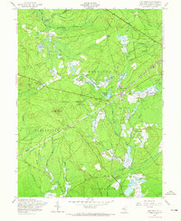
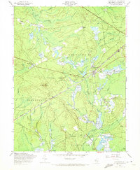
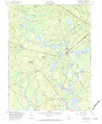
Editions of this 1957 Chatsworth Map
4 editions found
Other maps of this area

1884 · Whitings
USGS Topo · 1:62,500

1888 · Pemberton
USGS Topo · 1:62,500

1888 · Little Egg Harbor
USGS Topo · 1:62,500

1888 · Whitings
USGS Topo · 1:62,500

1890 · Mullica
USGS Topo · 1:62,500

1893 · Little Egg Harbor
USGS Topo · 1:62,500

1894 · Pemberton
USGS Topo · 1:62,500

1894 · Mullica
USGS Topo · 1:62,500

1898 · Pemberton
USGS Topo · 1:62,500

1898 · Mullica
USGS Topo · 1:62,500