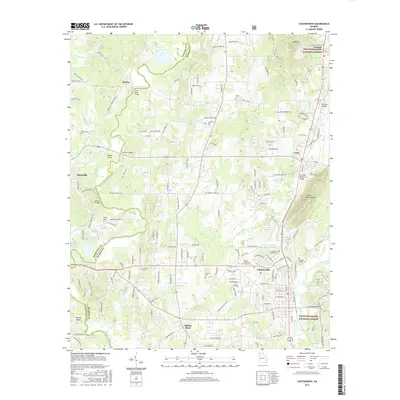
2017 Map of Chatsworth
USGS Topo · Published 2017About this map
Chatsworth and the surrounding Murray County lowlands are the focus of this 2017 survey, showing the modern footprint of settlements along the foot of the Blue Ridge. The landscape is defined by the winding Conasauga River to the west, which serves as a natural boundary with Whitfield County. This river system creates distinctive landforms such as Prater Island and Felkers Island, while the eastern portion of the map climbs into the protected wilderness of the Chattahoochee National Forest near High Top.
Find a feature on this map
157 named features on this map. Tap any name to fly to it.
Don’t see what you’re looking for? This feature index may not catch every label — zoom into the map to look around manually.
Map Details
Editions of this 2017 Chatsworth Map
This is the sole edition of this map. No revisions or reprints were ever made.
Other maps of this area

1886 · Dalton
USGS Topo · 1:125,000

1892 · Dalton
USGS Topo · 1:125,000

1897 · Dalton
USGS Topo · 1:125,000

1911 · Cohutta Mtn
USGS Topo · 1:62,500

1913 · Cohutta Mtn.
USGS Topo · 1:62,500

1914 · Talking Rock
USGS Topo · 1:62,500

1916 · Talking Rock
USGS Topo · 1:62,500
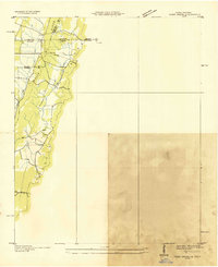
1935 · Tiger Creek
USGS Topo · 1:24,000

1938 · Chatsworth
USGS Topo · 1:48,000

1943 · Dalton
USGS Topo · 1:62,500