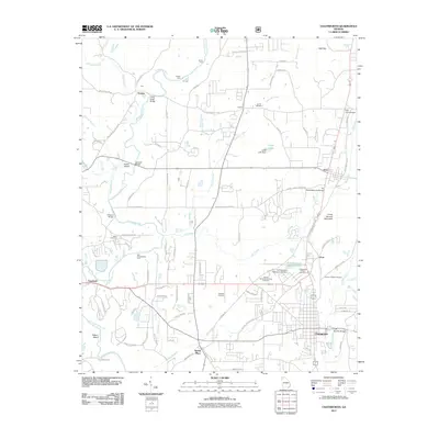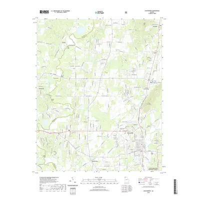
2024 Map of Chatsworth
USGS Topo · Published 2024About this map
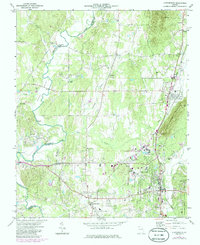
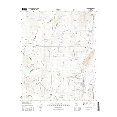
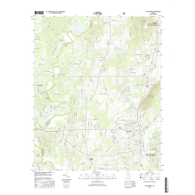
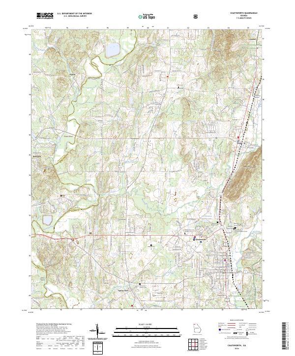
Chatsworth serves as the focal point of this Murray County landscape, situated where the valley floor meets the rising elevations of Fort Mountain and Camp Ground Mtn. The town's grid is anchored by the Murray County Courthouse and extends through residential streets like W Walnut St and S 3rd Ave. Historically significant corridors such as Old Federal Rd N and Old Federal Rd S traverse the area, linking smaller settlements like Eton and Crandall to the north and Spring Place to the south.
Find a feature on this map
75 named features on this map. Tap any name to fly to it.
Don’t see what you’re looking for? This feature index may not catch every label — zoom into the map to look around manually.
Map Details
Editions of this 2024 Chatsworth Map
This is the sole edition of this map. No revisions or reprints were ever made.
Historical Maps of Chatsworth Through Time
6 maps found