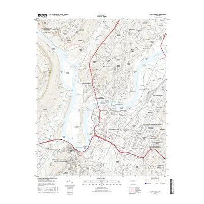
2016 Map of Chattanooga
USGS Topo · Published 2016About this map
Moccasin Bend anchors this 2016 survey, where the Tennessee River creates a dramatic peninsula south of the Cumberland Escarpment. The map reveals the dense layers of human history and memorialization throughout the valley, from the sprawling tracts of the Chickamauga and Chattanooga National Military Park to the subterranean attraction of Ruby Falls on Lookout Mountain. Transportation and industry infrastructure define the urban core, including the Missionary Ridge Tunnel, the Lookout Mountain Tunnel, and several historic spans like the Walnut Street Bridge. Cultural landmarks such as The Univ of Tennessee at Chattanooga and the Mizpah Congregation Cem sit alongside industrial areas like Tannery Flats. The residential evolution of the area is evident in the layout of neighborhoods like Lupton City and Stuart Heights, showing the city's growth across the shoals and ridges.
Find a feature on this map
115 named features on this map. Tap any name to fly to it.
Don’t see what you’re looking for? This feature index may not catch every label — zoom into the map to look around manually.
Map Details
Editions of this 2016 Chattanooga Map
This is the sole edition of this map. No revisions or reprints were ever made.
Other maps of this area

1886 · Ringgold
USGS Topo · 1:125,000

1888 · Chattanooga
USGS Topo · 1:125,000

1892 · Ringgold
USGS Topo · 1:125,000

1893 · Chattanooga
USGS Topo · 1:125,000

1935 · East Chattanooga
USGS Topo · 1:24,000

1935 · Daisy
USGS Topo · 1:24,000

1935 · East Ridge
USGS Topo · 1:24,000

1936 · Ketner Gap
USGS Topo · 1:24,000

1936 · Hooker
USGS Topo · 1:24,000

1936 · Fort Oglethorpe
USGS Topo · 1:24,000