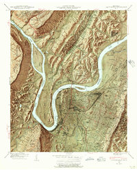
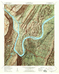
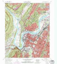
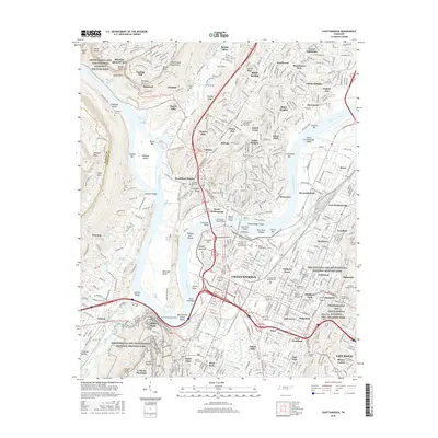
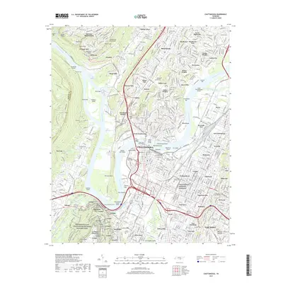
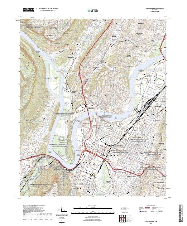
1940 Map of Chattanooga
USGS Topo · Published 1956About this map
The Tennessee River creates a dramatic series of loops around Moccasin Bend and Chattanooga Island, forming the geographic heart of this 1940s-era river and rail hub. Before the full modern expansion of the interstate system, the city's growth is defined by its topographical constraints, pinned between the Cumberland Escarpment and the massive bulk of Lookout Mountain. The downtown area is a dense grid of industry and transit, centered on major rail hubs like Union Station and Terminal Station, while the famed Incline Railway ascends the steep slopes to the south.
Find a feature on this map
134 named features on this map. Tap any name to fly to it.
Don’t see what you’re looking for? This feature index may not catch every label — zoom into the map to look around manually.
Map Details
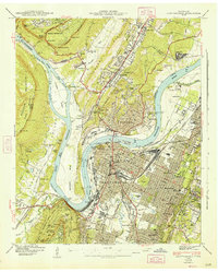
Editions of this 1940 Chattanooga Map
2 editions found
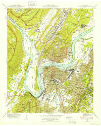
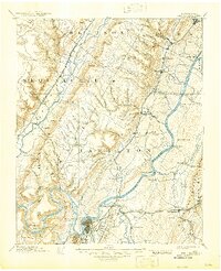
Historical Maps of Chattanooga Through Time
19 maps found

1888 Chattanooga
Hamilton County, TN
1893 Chattanooga
Hamilton County, TN

1936 Chattanooga
Hamilton County, TN
1940 Chattanooga
Hamilton County, TN
1941 Chattanooga
Hamilton County, TN

1953 Chattanooga
Hamilton County, TN

1957 Chattanooga
Hamilton County, TN
1958 Chattanooga
Hamilton County, TN

1959 Chattanooga
Hamilton County, TN

1960 Chattanooga
Hamilton County, TN

1964 Chattanooga
Hamilton County, TN
1969 Chattanooga
Hamilton County, TN

1979 Chattanooga
Hamilton County, TN

1988 Chattanooga
Hamilton County, TN
2010 Chattanooga
Hamilton County, TN
2013 Chattanooga
Hamilton County, TN
2016 Chattanooga
Hamilton County, TN
2019 Chattanooga
Hamilton County, TN
2022 Chattanooga
Hamilton County, TN