
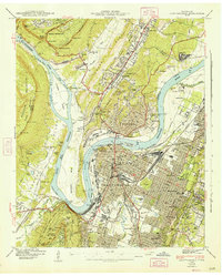
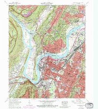
1979 Map of Chattanooga
USGS Topo · Published 1980About this map
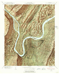
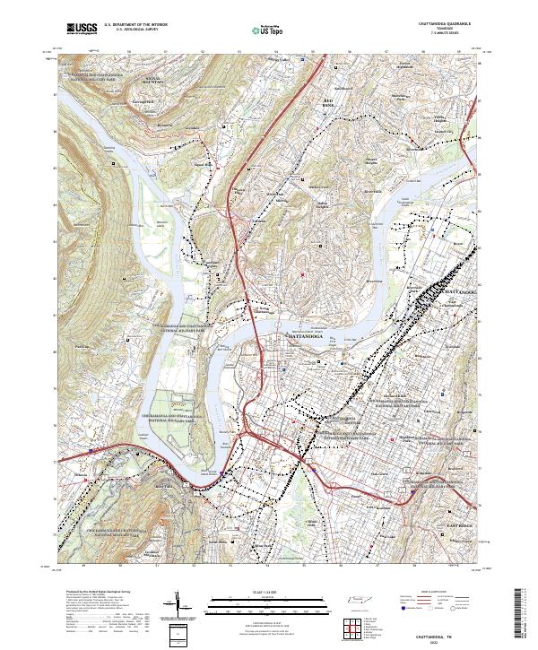
Chattanooga and its surrounding river valley are anchored by the engineering of the Tennessee River, where the Chickamauga Dam and Nickajack Dam have transformed the waterway into a series of massive reservoirs including Chickamauga Lake. The landscape is defined by the sharp verticality of the Cumberland Plateau and Walden Ridge, which hem in the Sequatchie Valley. To the west, the high elevations around Sewanee are marked by the University of the South, while the plateau surface near Tracy City and Coalmont shows extensive land use through numerous Strip Mines.
Find a feature on this map
143 named features on this map. Tap any name to fly to it.
Don’t see what you’re looking for? This feature index may not catch every label — zoom into the map to look around manually.
Map Details
Editions of this 1979 Chattanooga Map
This is the sole edition of this map. No revisions or reprints were ever made.
Historical Maps of Fairview Through Time
15 maps found

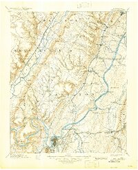
1888 Chattanooga
Hamilton County, TN
1893 Chattanooga
Hamilton County, TN

1936 Chattanooga
Hamilton County, TN
1940 Chattanooga
Hamilton County, TN
1941 Chattanooga
Hamilton County, TN

1953 Chattanooga
Hamilton County, TN

1957 Chattanooga
Hamilton County, TN
1958 Chattanooga
Hamilton County, TN

1959 Chattanooga
Hamilton County, TN

1960 Chattanooga
Hamilton County, TN

1964 Chattanooga
Hamilton County, TN
1969 Chattanooga
Hamilton County, TN
1979 Chattanooga
Hamilton County, TN

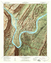
1988 Chattanooga
Hamilton County, TN
2022 Chattanooga
Hamilton County, TN