
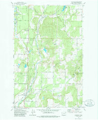
1973 Map of Chattaroy
USGS Topo · Published 1977About this map
The Little Spokane River carves a deep valley through this portion of Spokane County, providing a corridor for the Burlington Northern railroad and defining the local geography. Small settlements like Milan and Chattaroy serve as the primary hubs, with their respective grounds at Milan Cem and Chattaroy Cem offering essential data for genealogists. The landscape is characterized by a mix of agricultural land and rising terrain, notably Milan Hill and the prominent Orchard Bluff to the south.
Find a feature on this map
55 named features on this map. Tap any name to fly to it.
Don’t see what you’re looking for? This feature index may not catch every label — zoom into the map to look around manually.
Map Details
Editions of this 1973 Chattaroy Map
2 editions found
Other maps of this area

1901 · Spokane
USGS Topo · 1:125,000

1936 · Newport
USGS Topo · 1:96,000

1942 · Newport
USGS Topo · 1:125,000

1943 · Mt Spokane
USGS Topo · 1:62,500

1949 · Deer Park
USGS Topo · 1:62,500

1950 · Mt Spokane
USGS Topo · 1:62,500

1951 · Deer Park
USGS Topo · 1:62,500

1955 · Spokane
USGS Topo · 1:250,000

1958 · Spokane
USGS Topo · 1:250,000

1958 · Sandpoint
USGS Topo · 1:250,000