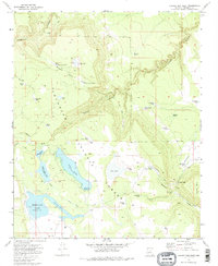
1970 Map of Chavez Mtn West
USGS Topo · Published 1986About this map
Coconino National Forest defines the high-altitude landscape of this 1970 survey, where a series of lakes and volcanic features punctuate the terrain. The hydrological network is particularly prominent, featuring Long Lake, Tremaine Lake, and the smaller Soldier Lake. These water bodies, along with numerous named stock tanks like Bullfight Tank and Lewis Tank, suggest a landscape managed for grazing and water conservation within the forest boundaries.
Find a feature on this map
44 named features on this map. Tap any name to fly to it.
Don’t see what you’re looking for? This feature index may not catch every label — zoom into the map to look around manually.
Map Details
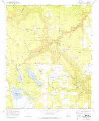
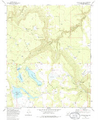
Editions of this 1970 Chavez Mtn West Map
3 editions found
Other maps of this area

1887 · Verde
USGS Topo · 1:250,000

1892 · Verde
USGS Topo · 1:250,000

1954 · Holbrook
USGS Topo · 1:250,000

1957 · Holbrook
USGS Topo · 1:250,000

1958 · Holbrook
USGS Topo · 1:250,000

1960 · Holbrook
USGS Topo · 1:250,000
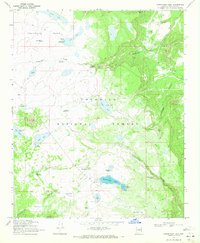
1970 · Kinnikinick Lake
USGS Topo · 1:24,000
1970 · Turkey Mtn.
USGS Topo · 1:24,000
1970 · Jaycox Mtn.
USGS Topo · 1:24,000
1970 · Chavez Mtn NW
USGS Topo · 1:24,000