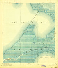
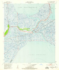
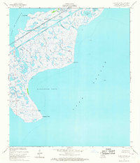
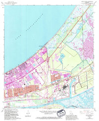
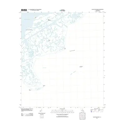
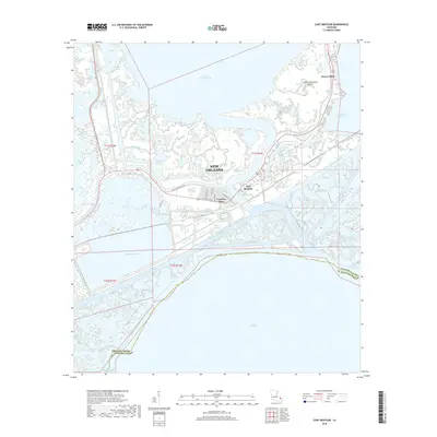
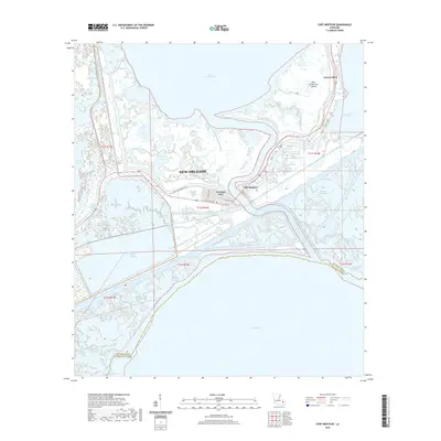
1892 Map of Chef Menteur
USGS Topo · Published 1928About this map
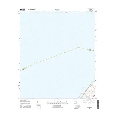
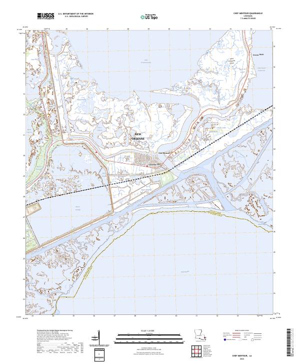
Chef Menteur Prairie and the sprawling marshlands east of New Orleans dominate this late 19th-century landscape, illustrating the critical transportation corridors that linked the city to the Gulf coast. The area is defined by its low-lying coastal geography, where the Chef Menteur Pass provides a vital channel between Lake Pontchartrain and Lake Borgne. Small settlements like Micheaud and Lee are situated along the tracks of the Louisville and Nashville Railroad, which cuts across the marsh alongside the Bayou Sauvage.
Find a feature on this map
19 named features on this map. Tap any name to fly to it.
Don’t see what you’re looking for? This feature index may not catch every label — zoom into the map to look around manually.
Map Details
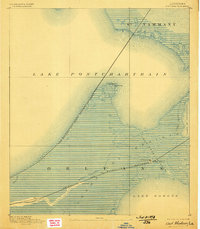
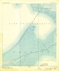
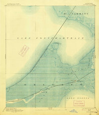
Editions of this 1892 Chef Menteur Map
5 editions found

Historical Maps of New Orleans Through Time
60 maps found
1892 Chef Menteur
Orleans Parish, LA

1932 New Orleans NE
Orleans Parish, LA

1936 Chef Menteur
Orleans Parish, LA

1936 South Point
Orleans Parish, LA

1937 Chef Menteur
Orleans Parish, LA

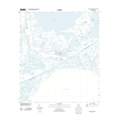
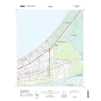
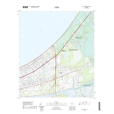
1938 Little Woods
Orleans Parish, LA

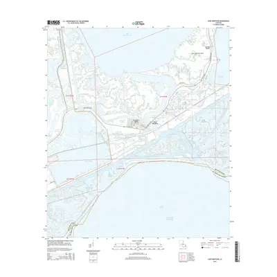
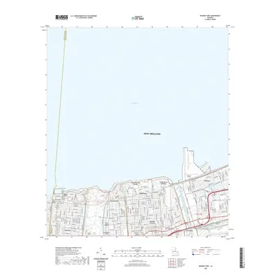
1938 Spanish Fort
Orleans Parish, LA

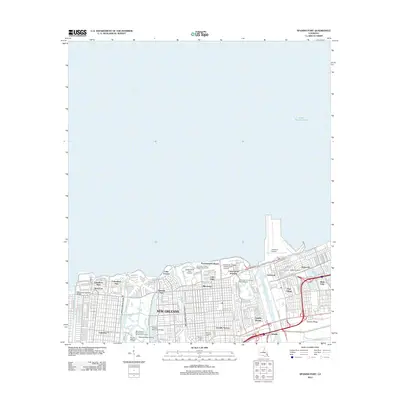
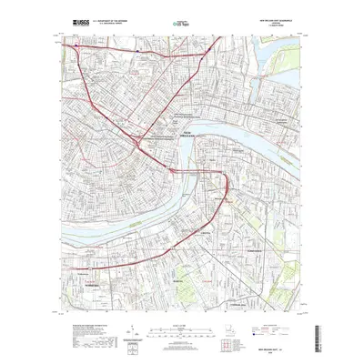
1939 New Orleans East
Orleans Parish, LA

1943 Little Woods
Orleans Parish, LA

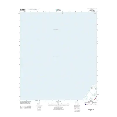
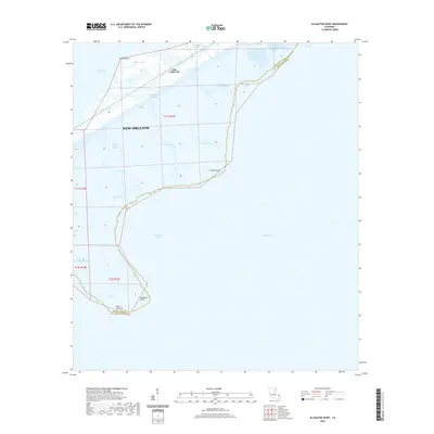
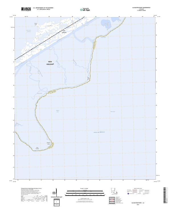
1949 Alligator Point
Orleans Parish, LA
1951 Chef Menteur
Orleans Parish, LA
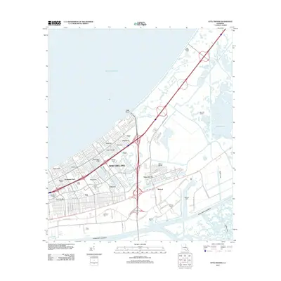
1951 Little Woods
Orleans Parish, LA
1951 New Orleans East
Orleans Parish, LA

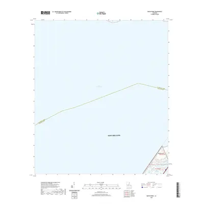
1951 South Point
Orleans Parish, LA
1951 Spanish Fort
Orleans Parish, LA
1956 Alligator Point
Orleans Parish, LA
1965 Spanish Fort
Orleans Parish, LA
1966 New Orleans East
Orleans Parish, LA
1967 Chef Menteur
Orleans Parish, LA
1967 Little Woods
Orleans Parish, LA
1967 South Point
Orleans Parish, LA
1968 Alligator Point
Orleans Parish, LA

1969 Chef Menteur
Orleans Parish, LA

1992 New Orleans East
Orleans Parish, LA
1992 Spanish Fort
Orleans Parish, LA

1994 Alligator Point
Orleans Parish, LA

1998 Chef Menteur
Orleans Parish, LA

1998 Little Woods
Orleans Parish, LA

1998 New Orleans East
Orleans Parish, LA

1999 Spanish Fort
Orleans Parish, LA
2012 Alligator Point
Orleans Parish, LA
2012 Chef Menteur
Orleans Parish, LA
2012 Little Woods
Orleans Parish, LA

2012 New Orleans East
Orleans Parish, LA
2012 South Point
Orleans Parish, LA
2012 Spanish Fort
Orleans Parish, LA
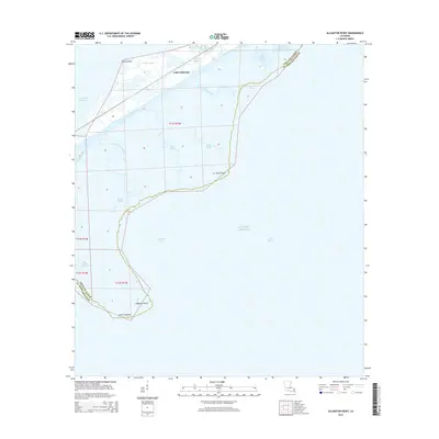
2015 Alligator Point
Orleans Parish, LA
2015 Chef Menteur
Orleans Parish, LA
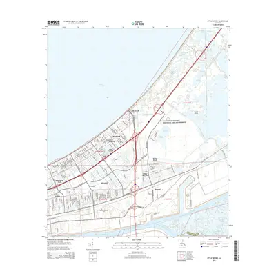
2015 Little Woods
Orleans Parish, LA
2015 New Orleans East
Orleans Parish, LA
2015 South Point
Orleans Parish, LA
2015 Spanish Fort
Orleans Parish, LA
2018 Alligator Point
Orleans Parish, LA
2018 Chef Menteur
Orleans Parish, LA
2018 Little Woods
Orleans Parish, LA

2018 New Orleans East
Orleans Parish, LA
2018 South Point
Orleans Parish, LA
2018 Spanish Fort
Orleans Parish, LA
2020 Alligator Point
Orleans Parish, LA
2020 Chef Menteur
Orleans Parish, LA
2020 Little Woods
Orleans Parish, LA
2020 New Orleans East
Orleans Parish, LA
2020 South Point
Orleans Parish, LA
2020 Spanish Fort
Orleans Parish, LA
2024 Alligator Point
Orleans Parish, LA
2024 Chef Menteur
Orleans Parish, LA
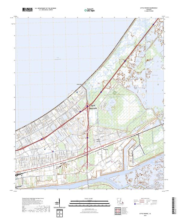
2024 Little Woods
Orleans Parish, LA
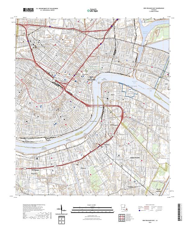
2024 New Orleans East
Orleans Parish, LA
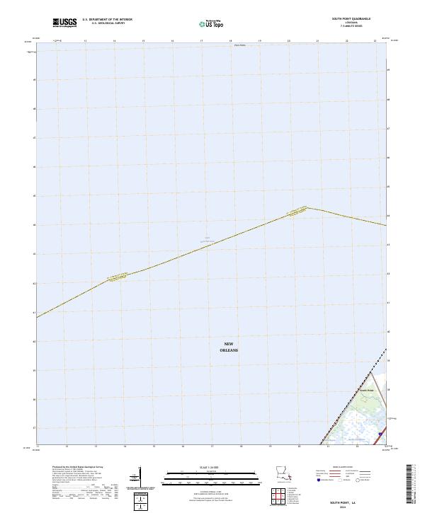
2024 South Point
Orleans Parish, LA
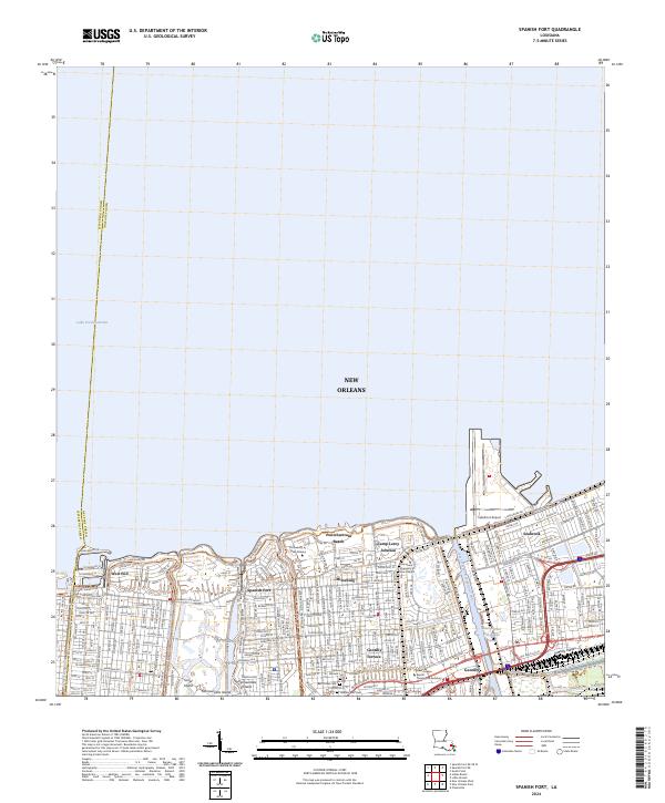
2024 Spanish Fort
Orleans Parish, LA