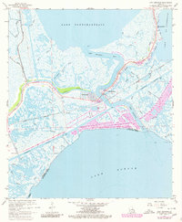
1967 Map of Chef Menteur
USGS Topo · Published 1980About this map
Chef Menteur Pass serves as a critical hydraulic link between Lake Pontchartrain and Lake Borgne, anchoring a landscape defined by intricate tidal marsh and strategic transit routes. The presence of Fort Macomb (Ruins) at the narrows underscores the historical military importance of this passage. By the late 1960s, the development of Venetian Isles introduced residential canals to the wetlands, contrasting with the expansive natural drainages of Bayou Sauvage and Irish Bayou. Heavy infrastructure, including the Louisville and Nashville railroad and the Intracoastal Waterway, facilitates movement across the Orleans Parish and St. Bernard Parish line. Numerous smaller waterways like Maria Bayou and Dupont Bayou weave through the marsh, reflecting the complex coastal geography before modern environmental shifts altered the region.
Find a feature on this map
41 named features on this map. Tap any name to fly to it.
Don’t see what you’re looking for? This feature index may not catch every label — zoom into the map to look around manually.
Map Details
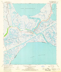
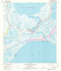
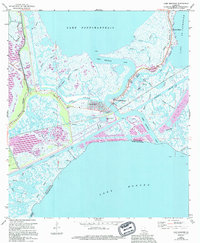
Editions of this 1967 Chef Menteur Map
4 editions found
Other maps of this area

1892 · Chef Menteur
USGS Topo · 1:62,500

1892 · St. Bernard
USGS Topo · 1:62,500

1893 · Rigolets
USGS Topo · 1:62,500

1893 · Shell Beach
USGS Topo · 1:62,500

1936 · North Shore
USGS Topo · 1:31,680

1936 · South Point
USGS Topo · 1:31,680

1936 · Chef Menteur
USGS Topo · 1:62,500

1936 · Rigolets
USGS Topo · 1:62,500

1937 · Chef Menteur
USGS Topo · 1:31,680

1938 · Little Woods
USGS Topo · 1:31,680
Featured Places
- New Orleans, LA
- Greens Ditch, New Orleans
- Venetian Isles, New Orleans
- Chef Menteur, New Orleans
- Orleans Parish, LA