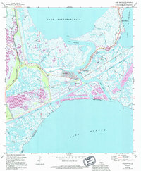
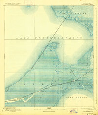
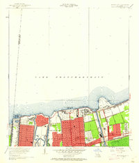
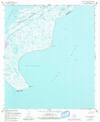
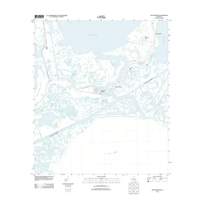
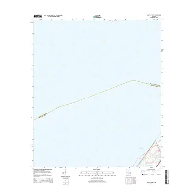
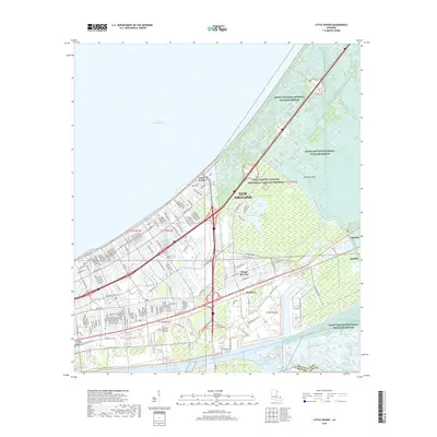
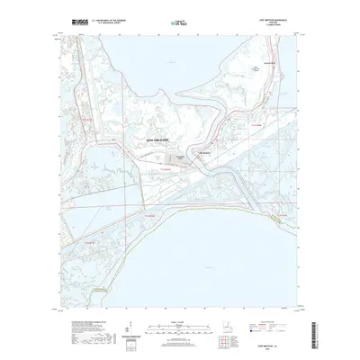
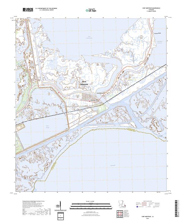
1967 Map of Chef Menteur
USGS Topo · Published 1994About this map
Chef Menteur Pass serves as the central artery for this coastal landscape, connecting the waters of Lake Pontchartrain and Lake Borgne. The 1967 survey highlights the emergence of the Venetian Isles residential development, carved into the marshlands with its distinct finger-canal layout. Strategic infrastructure is prominent along the channel, including the historic site of Fort Macomb (Ruins), which guarded this water route since the early 19th century.
Find a feature on this map
38 named features on this map. Tap any name to fly to it.
Don’t see what you’re looking for? This feature index may not catch every label — zoom into the map to look around manually.
Map Details
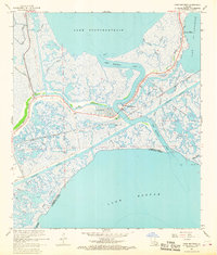
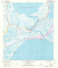
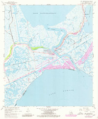
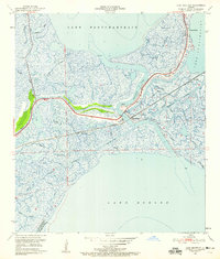
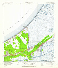
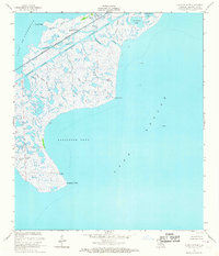
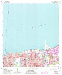
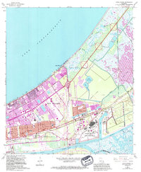
Editions of this 1967 Chef Menteur Map
4 editions found
Historical Maps of New Orleans Through Time
60 maps found
1892 Chef Menteur
Orleans Parish, LA

1932 New Orleans NE
Orleans Parish, LA

1936 Chef Menteur
Orleans Parish, LA

1936 South Point
Orleans Parish, LA

1937 Chef Menteur
Orleans Parish, LA

1938 Little Woods
Orleans Parish, LA

1938 Spanish Fort
Orleans Parish, LA

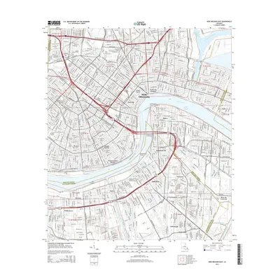
1939 New Orleans East
Orleans Parish, LA

1943 Little Woods
Orleans Parish, LA

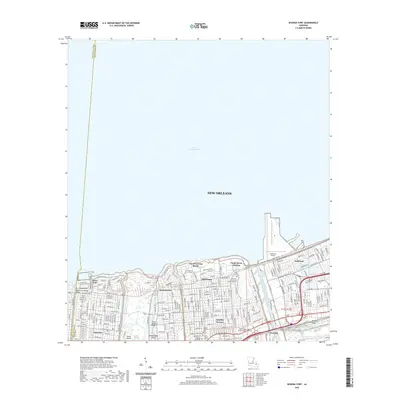
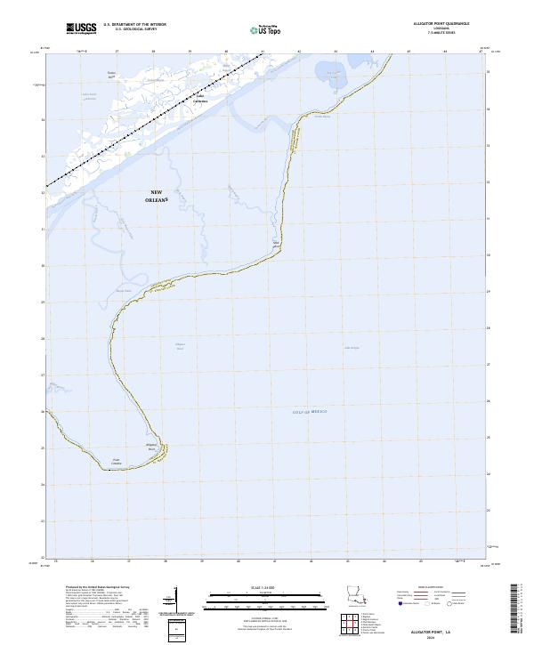
1949 Alligator Point
Orleans Parish, LA
1951 Chef Menteur
Orleans Parish, LA
1951 Little Woods
Orleans Parish, LA
1951 New Orleans East
Orleans Parish, LA

1951 South Point
Orleans Parish, LA
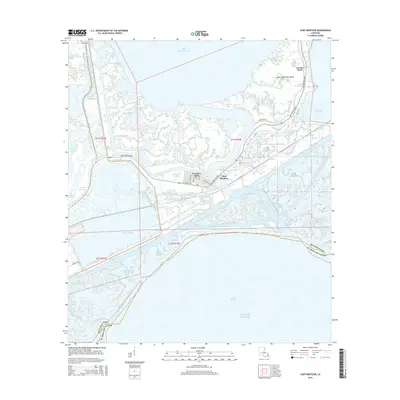
1951 Spanish Fort
Orleans Parish, LA
1956 Alligator Point
Orleans Parish, LA
1965 Spanish Fort
Orleans Parish, LA

1966 New Orleans East
Orleans Parish, LA
1967 Chef Menteur
Orleans Parish, LA
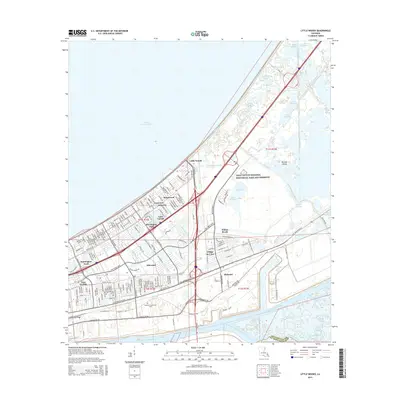
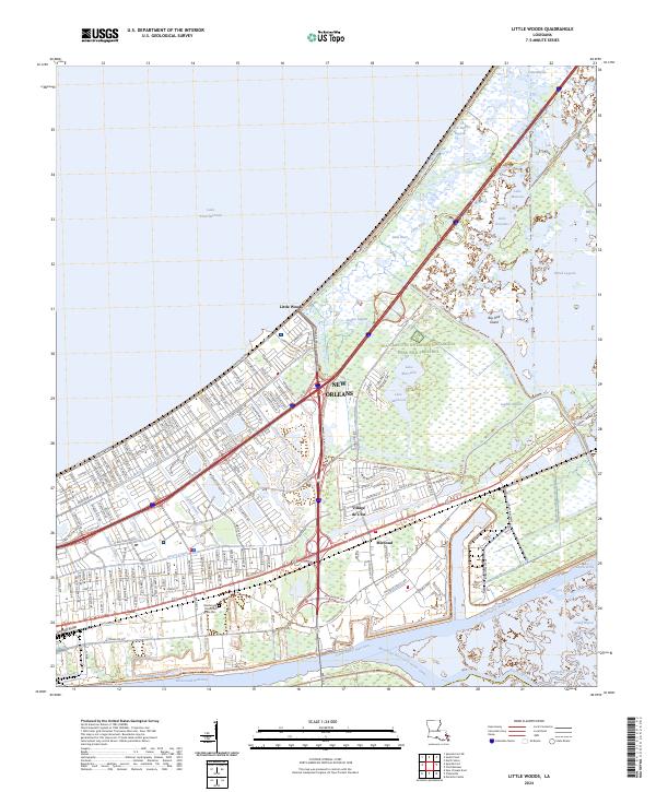
1967 Little Woods
Orleans Parish, LA
1967 South Point
Orleans Parish, LA
1968 Alligator Point
Orleans Parish, LA

1969 Chef Menteur
Orleans Parish, LA

1992 New Orleans East
Orleans Parish, LA
1992 Spanish Fort
Orleans Parish, LA

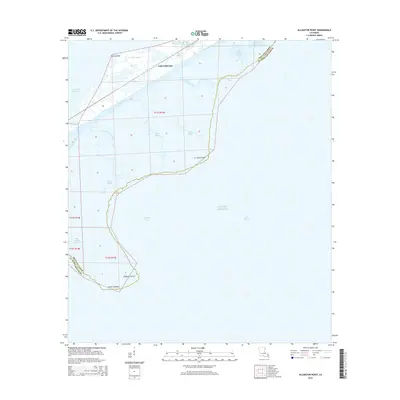
1994 Alligator Point
Orleans Parish, LA

1998 Chef Menteur
Orleans Parish, LA

1998 Little Woods
Orleans Parish, LA

1998 New Orleans East
Orleans Parish, LA

1999 Spanish Fort
Orleans Parish, LA
2012 Alligator Point
Orleans Parish, LA
2012 Chef Menteur
Orleans Parish, LA
2012 Little Woods
Orleans Parish, LA

2012 New Orleans East
Orleans Parish, LA
2012 South Point
Orleans Parish, LA
2012 Spanish Fort
Orleans Parish, LA
2015 Alligator Point
Orleans Parish, LA
2015 Chef Menteur
Orleans Parish, LA
2015 Little Woods
Orleans Parish, LA
2015 New Orleans East
Orleans Parish, LA
2015 South Point
Orleans Parish, LA
2015 Spanish Fort
Orleans Parish, LA
2018 Alligator Point
Orleans Parish, LA
2018 Chef Menteur
Orleans Parish, LA
2018 Little Woods
Orleans Parish, LA

2018 New Orleans East
Orleans Parish, LA
2018 South Point
Orleans Parish, LA
2018 Spanish Fort
Orleans Parish, LA
2020 Alligator Point
Orleans Parish, LA
2020 Chef Menteur
Orleans Parish, LA
2020 Little Woods
Orleans Parish, LA
2020 New Orleans East
Orleans Parish, LA
2020 South Point
Orleans Parish, LA
2020 Spanish Fort
Orleans Parish, LA
2024 Alligator Point
Orleans Parish, LA
2024 Chef Menteur
Orleans Parish, LA
2024 Little Woods
Orleans Parish, LA
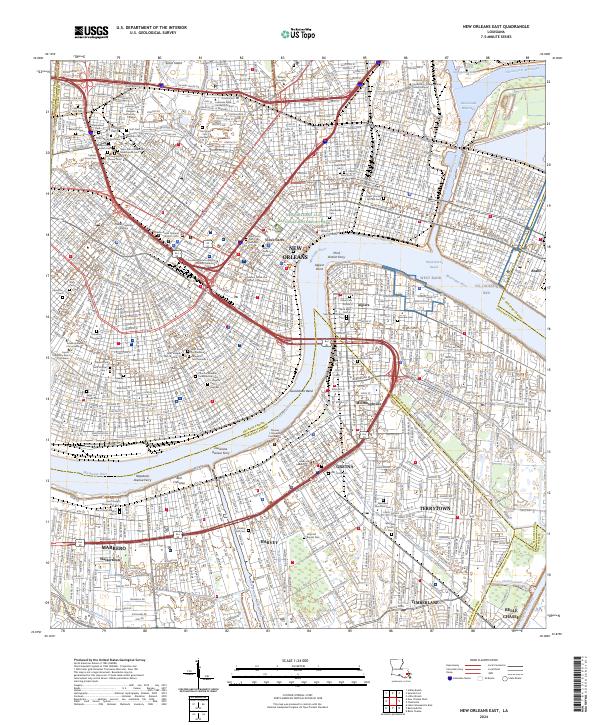
2024 New Orleans East
Orleans Parish, LA
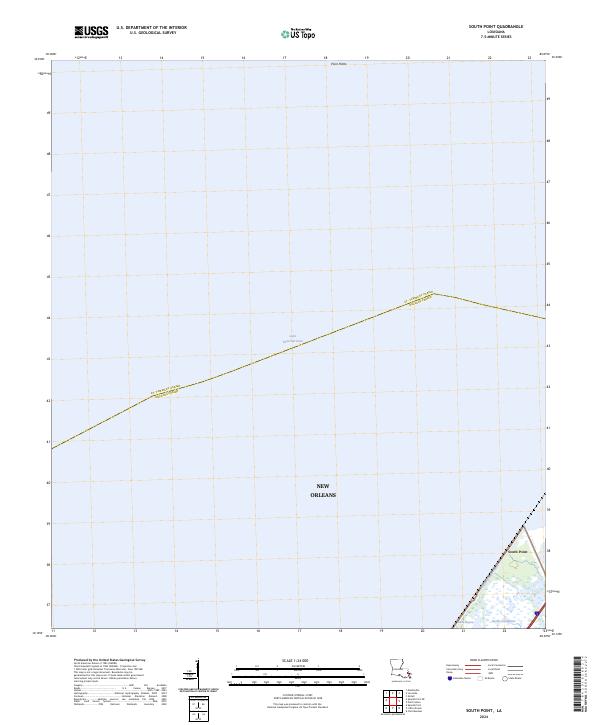
2024 South Point
Orleans Parish, LA
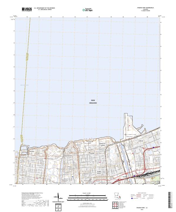
2024 Spanish Fort
Orleans Parish, LA
Featured Locations
- Orleans Parish, LA
- New Orleans, LA
- Chef Menteur, New Orleans
- Venetian Isles, New Orleans
- Greens Ditch, New Orleans