
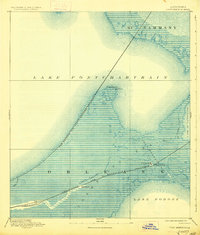
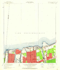
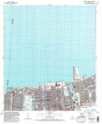
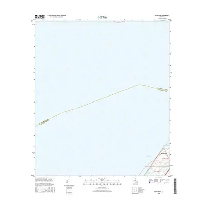
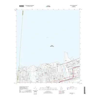
1951 Map of South Point
USGS Topo · Published 1952About this map
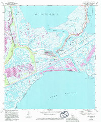
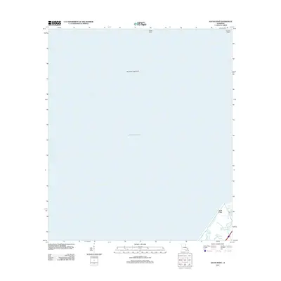
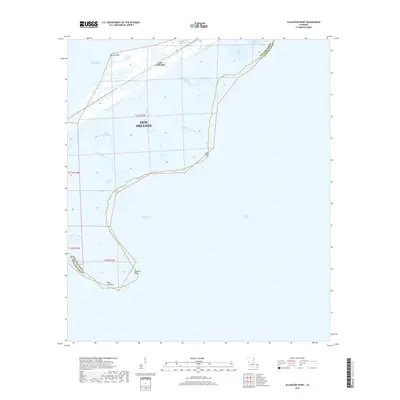
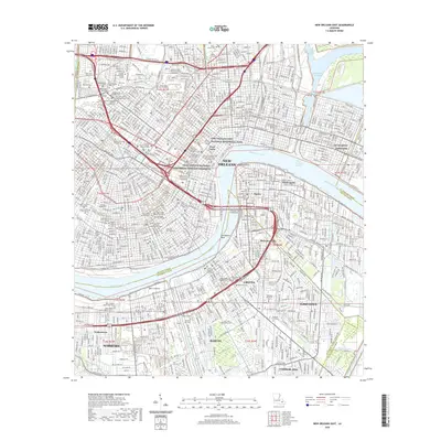
Lake Pontchartrain dominates this mid-century coastal survey, capturing the southeastern corner where the lake meets the surrounding marshlands. The landscape is defined by its watery transition, featuring the narrow landform of Point Platte and the marshy inlet of Point au Chien along the northern shoreline. This map illustrates the vital transportation corridor connecting New Orleans to the north, specifically the path of the Southern railroad line as it traverses the narrow strip of land between the lake and the interior marshes. Near the southeastern corner, the settlement at South Point stands as a focal point for local geography, adjacent to the intricate waterways of Irish Bayou Lagoon and the Little Woods Canal. The map also clearly delineates the administrative boundary between St Tammany Parish and Orleans Parish, which cuts across the open waters of the lake.
Find a feature on this map
9 named features on this map. Tap any name to fly to it.
Don’t see what you’re looking for? This feature index may not catch every label — zoom into the map to look around manually.
Map Details
Editions of this 1951 South Point Map
This is the sole edition of this map. No revisions or reprints were ever made.
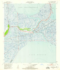
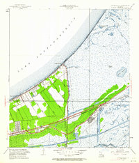
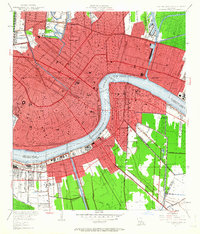
Historical Maps of New Orleans Through Time
60 maps found
1892 Chef Menteur
Orleans Parish, LA

1932 New Orleans NE
Orleans Parish, LA

1936 Chef Menteur
Orleans Parish, LA

1936 South Point
Orleans Parish, LA

1937 Chef Menteur
Orleans Parish, LA

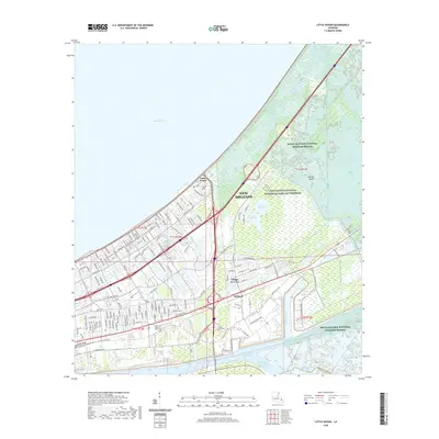
1938 Little Woods
Orleans Parish, LA

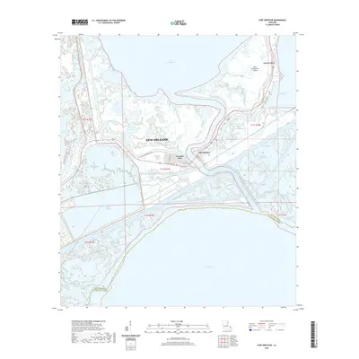
1938 Spanish Fort
Orleans Parish, LA

1939 New Orleans East
Orleans Parish, LA

1943 Little Woods
Orleans Parish, LA

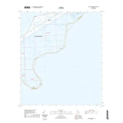
1949 Alligator Point
Orleans Parish, LA
1951 Chef Menteur
Orleans Parish, LA
1951 Little Woods
Orleans Parish, LA
1951 New Orleans East
Orleans Parish, LA
1951 South Point
Orleans Parish, LA
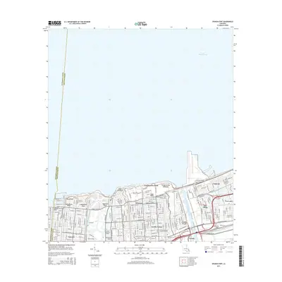
1951 Spanish Fort
Orleans Parish, LA
1956 Alligator Point
Orleans Parish, LA
1965 Spanish Fort
Orleans Parish, LA
1966 New Orleans East
Orleans Parish, LA
1967 Chef Menteur
Orleans Parish, LA
1967 Little Woods
Orleans Parish, LA
1967 South Point
Orleans Parish, LA
1968 Alligator Point
Orleans Parish, LA

1969 Chef Menteur
Orleans Parish, LA

1992 New Orleans East
Orleans Parish, LA
1992 Spanish Fort
Orleans Parish, LA

1994 Alligator Point
Orleans Parish, LA

1998 Chef Menteur
Orleans Parish, LA

1998 Little Woods
Orleans Parish, LA

1998 New Orleans East
Orleans Parish, LA

1999 Spanish Fort
Orleans Parish, LA
2012 Alligator Point
Orleans Parish, LA
2012 Chef Menteur
Orleans Parish, LA
2012 Little Woods
Orleans Parish, LA

2012 New Orleans East
Orleans Parish, LA
2012 South Point
Orleans Parish, LA
2012 Spanish Fort
Orleans Parish, LA
2015 Alligator Point
Orleans Parish, LA
2015 Chef Menteur
Orleans Parish, LA
2015 Little Woods
Orleans Parish, LA
2015 New Orleans East
Orleans Parish, LA
2015 South Point
Orleans Parish, LA
2015 Spanish Fort
Orleans Parish, LA
2018 Alligator Point
Orleans Parish, LA
2018 Chef Menteur
Orleans Parish, LA
2018 Little Woods
Orleans Parish, LA

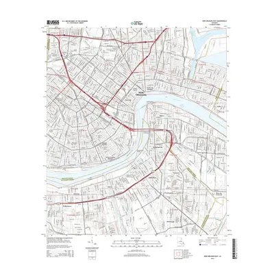
2018 New Orleans East
Orleans Parish, LA
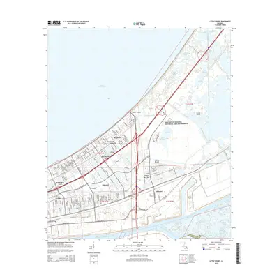
2018 South Point
Orleans Parish, LA
2018 Spanish Fort
Orleans Parish, LA
2020 Alligator Point
Orleans Parish, LA
2020 Chef Menteur
Orleans Parish, LA
2020 Little Woods
Orleans Parish, LA
2020 New Orleans East
Orleans Parish, LA
2020 South Point
Orleans Parish, LA
2020 Spanish Fort
Orleans Parish, LA
2024 Alligator Point
Orleans Parish, LA
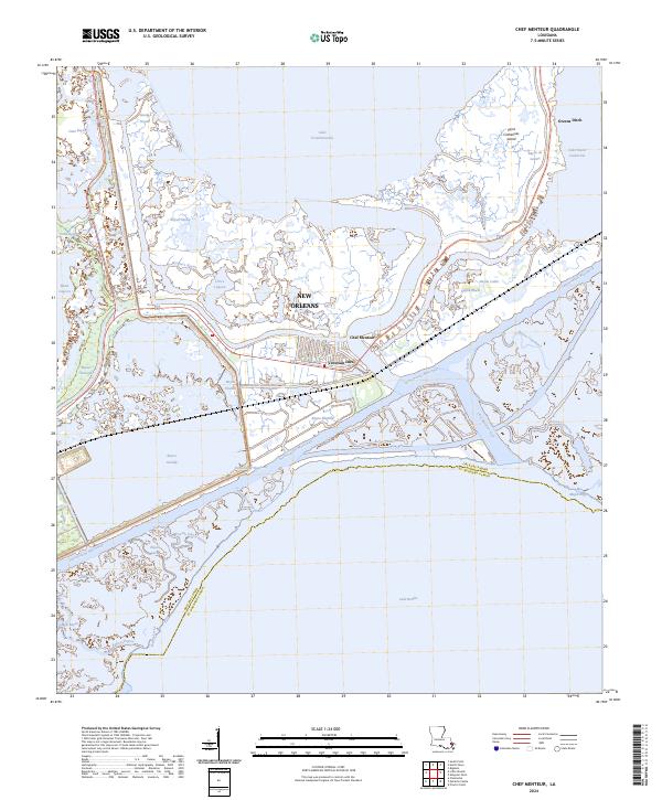
2024 Chef Menteur
Orleans Parish, LA
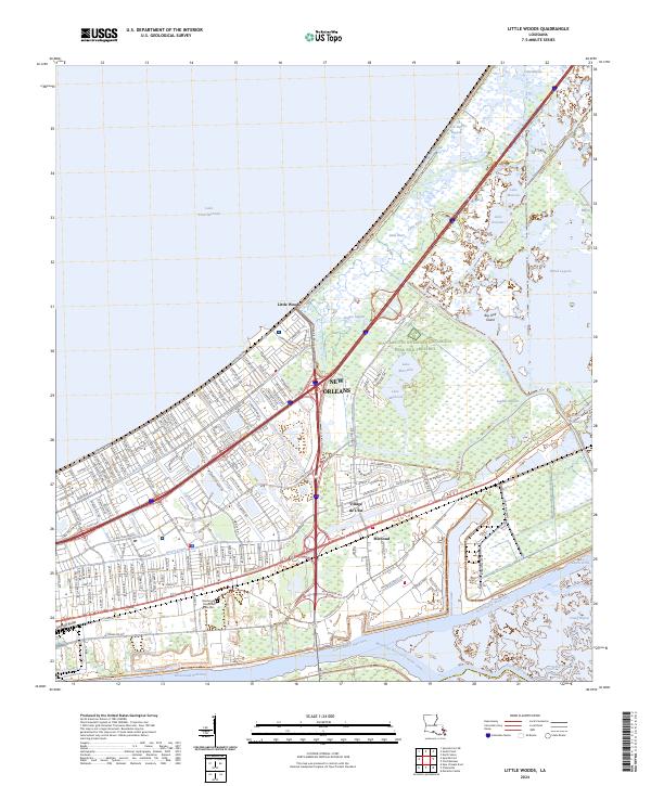
2024 Little Woods
Orleans Parish, LA
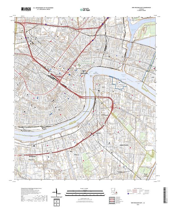
2024 New Orleans East
Orleans Parish, LA
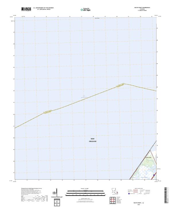
2024 South Point
Orleans Parish, LA
2024 Spanish Fort
Orleans Parish, LA