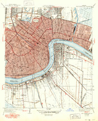
1939 Map of New Orleans East
USGS Topo · Published 1949About this map
New Orleans radiates from the crescent of the Mississippi River, showcasing a dense urban grid in the years before mid-century expansion. The map detail highlights the complex drainage and navigation infrastructure required for the city's survival, including the Inner Harbor Navigation Canal and numerous pumping stations. Prominent institutional landmarks such as Dillard University, Newcomb College Tulane University, and the Fairgrounds define the interior geography, while the historic St Louis Cem and Metairie Cemetery provide significant points of interest for genealogists.
Find a feature on this map
49 named features on this map. Tap any name to fly to it.
Don’t see what you’re looking for? This feature index may not catch every label — zoom into the map to look around manually.
Map Details
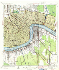
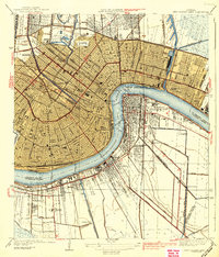
Editions of this 1939 New Orleans East Map
3 editions found
Other maps of this area

1891 · Spanish Fort
USGS Topo · 1:62,500

1891 · New Orleans
USGS Topo · 1:62,500

1892 · Chef Menteur
USGS Topo · 1:62,500

1892 · St. Bernard
USGS Topo · 1:62,500

1932 · New Orleans NE
USGS Topo · 1:31,680

1932 · New Orleans NW
USGS Topo · 1:31,680

1932 · New Orleans SE
USGS Topo · 1:31,680

1932 · New Orleans SW
USGS Topo · 1:31,680

1936 · Chef Menteur
USGS Topo · 1:62,500

1936 · Spanish Fort
USGS Topo · 1:62,500