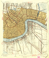
1939 Map of New Orleans East
USGS Topo · Published 1939About this map
The Mississippi River creates a dramatic crescent through the heart of New Orleans in this mid-1930s survey, illustrating the city's complex relationship with water and industry. Across the river, settlements like Algiers, McDonoghville, and Gretna are well-defined, while the West Bank's southern reaches remain dominated by drainage systems like the Planters Canal and Intracoastal Waterway. This era shows a city deeply integrated with rail and maritime commerce, featuring the Inner Harbor Navigation Canal and major rail hubs including the Union Sta and the Southern Railway.
Find a feature on this map
60 named features on this map. Tap any name to fly to it.
Don’t see what you’re looking for? This feature index may not catch every label — zoom into the map to look around manually.
Map Details
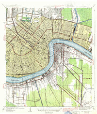
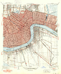
Editions of this 1939 New Orleans East Map
3 editions found
Other maps of this area

1891 · Spanish Fort
USGS Topo · 1:62,500

1891 · New Orleans
USGS Topo · 1:62,500

1892 · Chef Menteur
USGS Topo · 1:62,500

1892 · St. Bernard
USGS Topo · 1:62,500

1932 · New Orleans NE
USGS Topo · 1:31,680

1932 · New Orleans NW
USGS Topo · 1:31,680

1932 · New Orleans SE
USGS Topo · 1:31,680

1932 · New Orleans SW
USGS Topo · 1:31,680

1936 · Chef Menteur
USGS Topo · 1:62,500

1936 · Spanish Fort
USGS Topo · 1:62,500