
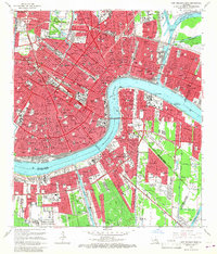
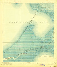
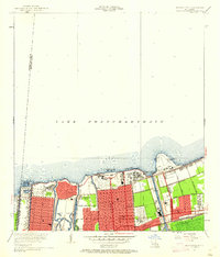
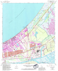
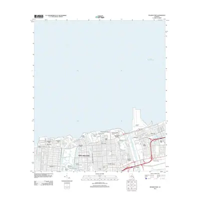
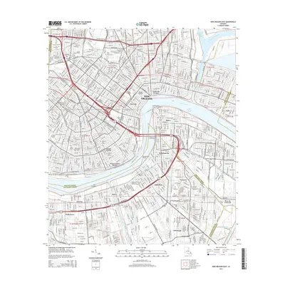
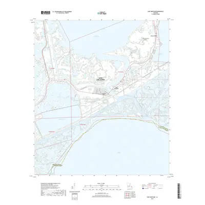
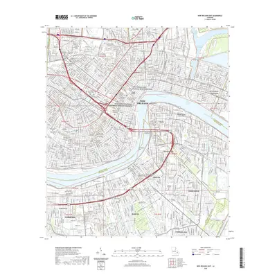
1966 Map of New Orleans East
USGS Topo · Published 1989About this map
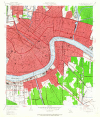
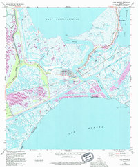
New Orleans and its surrounding parishes are captured during a period of significant urban expansion and infrastructure development. The crescent of the Mississippi River defines the core of the city, separating the historic Vieux Carre and the U S Customhouse from the western bank communities of Algiers, Gretna, and McDonoghville. This mid-century view illustrates the densification of the street grid and the critical role of maritime commerce, evidenced by the Turning Basin and the Intracoastal Waterway (Mississippi River-Gulf Outlet Canal). Extensive institutional grounds are prominent, including Tulane University, Dillard University, and the sprawling Metairie Cemetery and St Patrick Cemetery complexes. The map documents the city's transition toward modern transit with the Greater New Orleans Bridge and Pontchartrain Expy overlaying the older rail networks of the Southern Ry and the New Orleans Public Belt RR.
Find a feature on this map
56 named features on this map. Tap any name to fly to it.
Don’t see what you’re looking for? This feature index may not catch every label — zoom into the map to look around manually.
Map Details
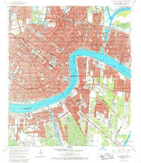
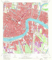
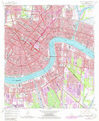
Editions of this 1966 New Orleans East Map
5 editions found
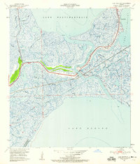
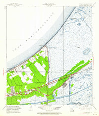
Historical Maps of New Orleans Through Time
60 maps found
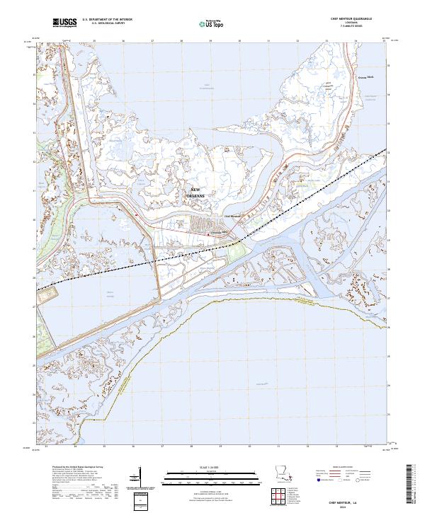
1892 Chef Menteur
Orleans Parish, LA

1932 New Orleans NE
Orleans Parish, LA

1936 Chef Menteur
Orleans Parish, LA

1936 South Point
Orleans Parish, LA

1937 Chef Menteur
Orleans Parish, LA

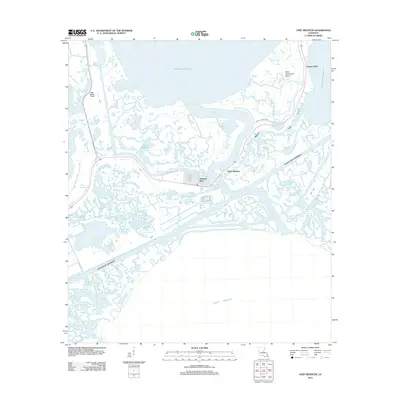
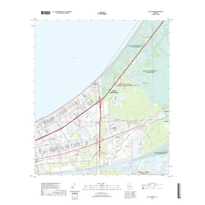
1938 Little Woods
Orleans Parish, LA

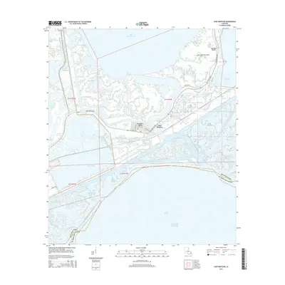
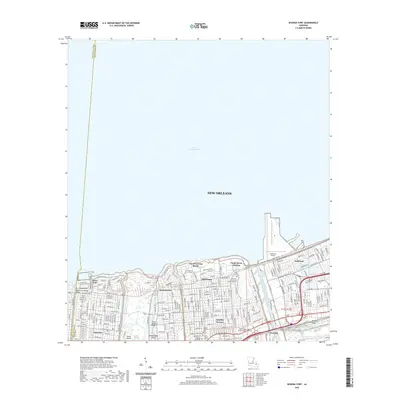
1938 Spanish Fort
Orleans Parish, LA

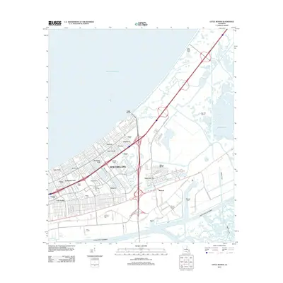
1939 New Orleans East
Orleans Parish, LA

1943 Little Woods
Orleans Parish, LA

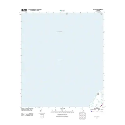
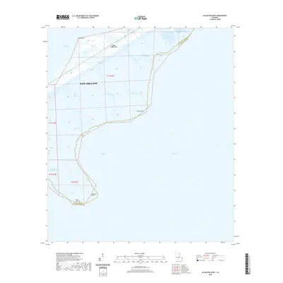
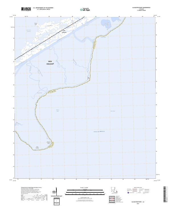
1949 Alligator Point
Orleans Parish, LA
1951 Chef Menteur
Orleans Parish, LA
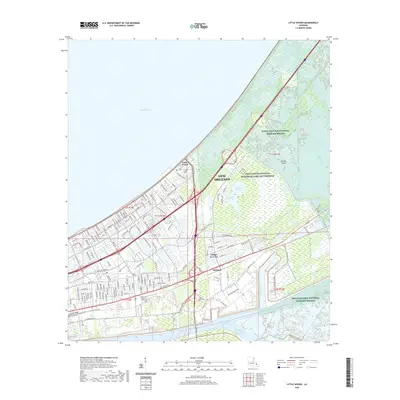
1951 Little Woods
Orleans Parish, LA
1951 New Orleans East
Orleans Parish, LA

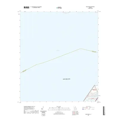
1951 South Point
Orleans Parish, LA
1951 Spanish Fort
Orleans Parish, LA
1956 Alligator Point
Orleans Parish, LA
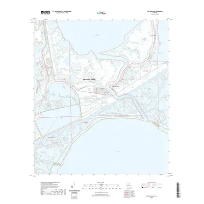
1965 Spanish Fort
Orleans Parish, LA
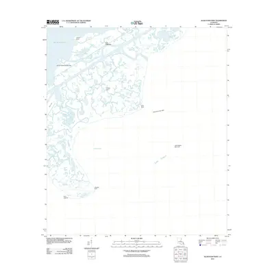
1966 New Orleans East
Orleans Parish, LA
1967 Chef Menteur
Orleans Parish, LA
1967 Little Woods
Orleans Parish, LA
1967 South Point
Orleans Parish, LA
1968 Alligator Point
Orleans Parish, LA

1969 Chef Menteur
Orleans Parish, LA

1992 New Orleans East
Orleans Parish, LA
1992 Spanish Fort
Orleans Parish, LA

1994 Alligator Point
Orleans Parish, LA

1998 Chef Menteur
Orleans Parish, LA

1998 Little Woods
Orleans Parish, LA

1998 New Orleans East
Orleans Parish, LA

1999 Spanish Fort
Orleans Parish, LA
2012 Alligator Point
Orleans Parish, LA
2012 Chef Menteur
Orleans Parish, LA
2012 Little Woods
Orleans Parish, LA

2012 New Orleans East
Orleans Parish, LA
2012 South Point
Orleans Parish, LA
2012 Spanish Fort
Orleans Parish, LA
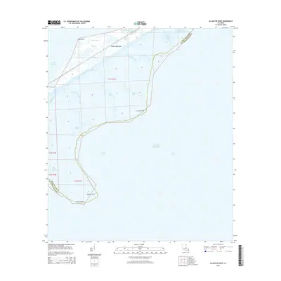
2015 Alligator Point
Orleans Parish, LA
2015 Chef Menteur
Orleans Parish, LA
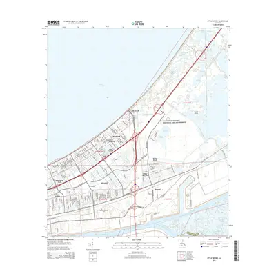
2015 Little Woods
Orleans Parish, LA
2015 New Orleans East
Orleans Parish, LA
2015 South Point
Orleans Parish, LA
2015 Spanish Fort
Orleans Parish, LA
2018 Alligator Point
Orleans Parish, LA
2018 Chef Menteur
Orleans Parish, LA
2018 Little Woods
Orleans Parish, LA

2018 New Orleans East
Orleans Parish, LA
2018 South Point
Orleans Parish, LA
2018 Spanish Fort
Orleans Parish, LA
2020 Alligator Point
Orleans Parish, LA
2020 Chef Menteur
Orleans Parish, LA
2020 Little Woods
Orleans Parish, LA
2020 New Orleans East
Orleans Parish, LA
2020 South Point
Orleans Parish, LA
2020 Spanish Fort
Orleans Parish, LA
2024 Alligator Point
Orleans Parish, LA
2024 Chef Menteur
Orleans Parish, LA
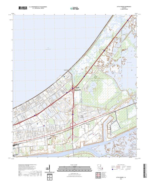
2024 Little Woods
Orleans Parish, LA
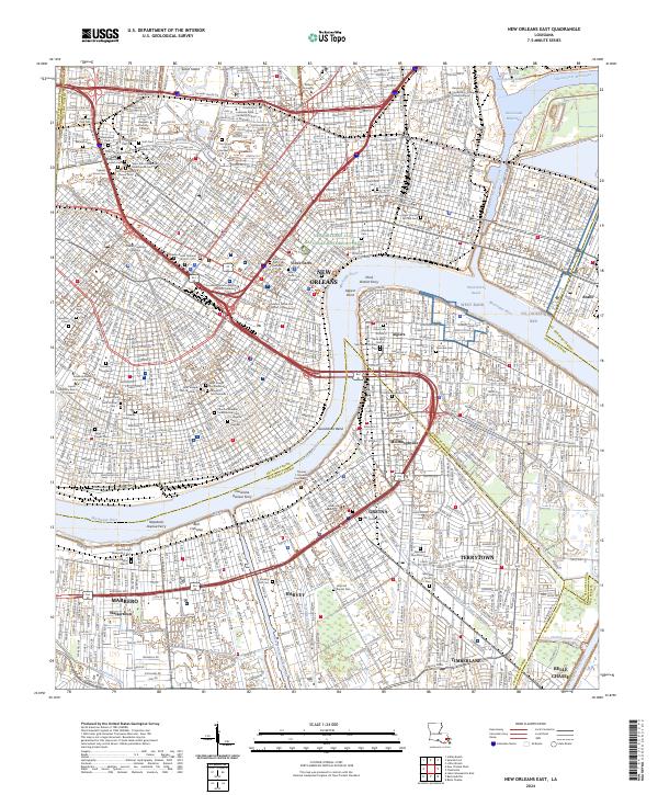
2024 New Orleans East
Orleans Parish, LA
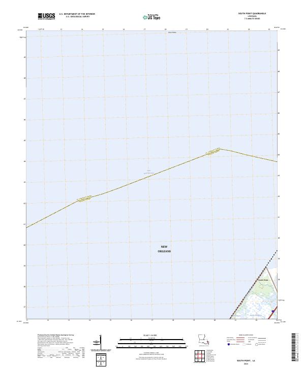
2024 South Point
Orleans Parish, LA
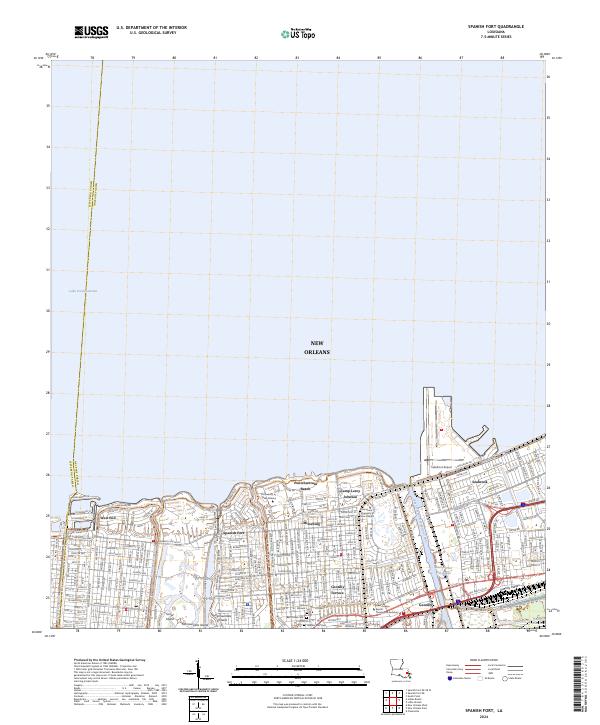
2024 Spanish Fort
Orleans Parish, LA