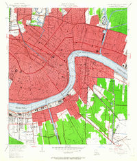
1951 Map of New Orleans East
USGS Topo · Published 1963About this map
St Louis Cathedral and the historic French Quarter core anchor this mid-century view of the Crescent City, where the Mississippi River creates a sharp bend between the main city and Algiers. The urban landscape is dense with civic and religious landmarks, from the Custom House and City Hall to the sprawling Metairie Cemetery and the Fairgrounds to the north.
Find a feature on this map
46 named features on this map. Tap any name to fly to it.
Don’t see what you’re looking for? This feature index may not catch every label — zoom into the map to look around manually.
Map Details
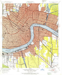
Editions of this 1951 New Orleans East Map
2 editions found
Other maps of this area

1891 · Spanish Fort
USGS Topo · 1:62,500

1891 · New Orleans
USGS Topo · 1:62,500

1892 · Chef Menteur
USGS Topo · 1:62,500

1892 · St. Bernard
USGS Topo · 1:62,500

1932 · New Orleans NE
USGS Topo · 1:31,680

1932 · New Orleans NW
USGS Topo · 1:31,680

1932 · New Orleans SE
USGS Topo · 1:31,680

1932 · New Orleans SW
USGS Topo · 1:31,680

1936 · Chef Menteur
USGS Topo · 1:62,500

1936 · Spanish Fort
USGS Topo · 1:62,500