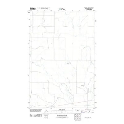
2011 Map of Chelsea NW
USGS Topo · Published 2011About this map
Chelsea Creek and Tule Creek define the drainage patterns across this section of Roosevelt County within the Wolf Point District. The landscape is marked by small-scale water management features typical of the Montana plains, including the Anderson Reservoir Number 1 Dam and the L Sayer-Magdelena Dam. These structures suggest a focus on water retention for livestock or local agricultural needs in an otherwise arid environment. The presence of the Tule Creek Bridge indicates a primary crossing point for the local road network, which follows a rigid section-line grid across the territory. This 2011 survey by the U.S. Geological Survey provides a precise view of the rural infrastructure and hydraulic engineering required to manage the area's intermittent water sources.
Find a feature on this map
5 named features on this map. Tap any name to fly to it.
Don’t see what you’re looking for? This feature index may not catch every label — zoom into the map to look around manually.
Map Details
Editions of this 2011 Chelsea NW Map
This is the sole edition of this map. No revisions or reprints were ever made.
Other maps of this area

1910 · Cuskers
USGS Topo · 1:62,500

1912 · Chelsea
USGS Topo · 1:62,500

1915 · Tule Valley
USGS Topo · 1:62,500

1915 · Cuskers
USGS Topo · 1:62,500

1916 · Wolf Point
USGS Topo · 1:62,500

1954 · Wolf Point
USGS Topo · 1:250,000

1958 · Wolf Point
USGS Topo · 1:250,000

1972 · Chelsea SW
USGS Topo · 1:24,000

1972 · Chelsea
USGS Topo · 1:24,000

1972 · Macon
USGS Topo · 1:24,000