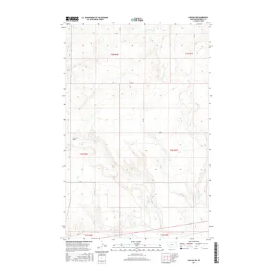
2017 Map of Chelsea NW
USGS Topo · Published 2017About this map
Tule Cr and Chelsea Cr define the drainage patterns of this Roosevelt County landscape, where the high plains of northeastern Montana are segmented by a grid of rural access routes. The Tule Creek Bridge serves as a critical local landmark for navigating the waterway, while Old Hwy 2 skirts the southern edge of the survey area, hinting at the historical transport corridor that parallels the Missouri River valley just to the south.
Find a feature on this map
17 named features on this map. Tap any name to fly to it.
Don’t see what you’re looking for? This feature index may not catch every label — zoom into the map to look around manually.
Map Details
Editions of this 2017 Chelsea NW Map
This is the sole edition of this map. No revisions or reprints were ever made.
Other maps of this area

1910 · Cuskers
USGS Topo · 1:62,500

1912 · Chelsea
USGS Topo · 1:62,500

1915 · Tule Valley
USGS Topo · 1:62,500

1915 · Cuskers
USGS Topo · 1:62,500

1916 · Wolf Point
USGS Topo · 1:62,500

1954 · Wolf Point
USGS Topo · 1:250,000

1958 · Wolf Point
USGS Topo · 1:250,000

1972 · Chelsea SW
USGS Topo · 1:24,000

1972 · Chelsea
USGS Topo · 1:24,000

1972 · Macon
USGS Topo · 1:24,000