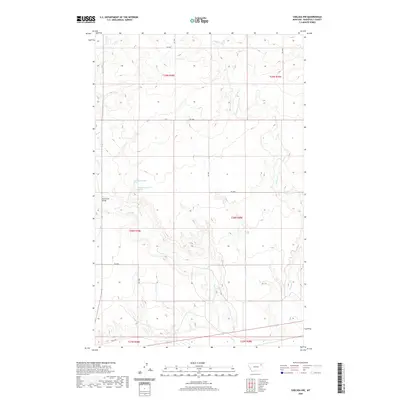
2020 Map of Chelsea NW
USGS Topo · Published 2020About this map
Tule Cr and Chelsea Cr carve through the high plains of the Wolf Point District in this survey of Roosevelt County. The landscape is defined by the deep drainage patterns of these creeks as they move south toward the Missouri River valley. In a region where water is a critical resource, the map identifies specific points of interest for land researchers, including 28N48E11DDAB01 Spring and 28N48E12CCCC01 Spring. Human infrastructure is sparse but notable, centered on the Tule Creek Bridge and a network of rural routes like Rd 2056 and Rd 2058. Along the southern boundary, Old Hwy 2 marks the historic transportation corridor that has long served as the primary east-west artery through this portion of northeastern Montana.
Find a feature on this map
16 named features on this map. Tap any name to fly to it.
Don’t see what you’re looking for? This feature index may not catch every label — zoom into the map to look around manually.
Map Details
Editions of this 2020 Chelsea NW Map
This is the sole edition of this map. No revisions or reprints were ever made.
Other maps of this area

1910 · Cuskers
USGS Topo · 1:62,500

1912 · Chelsea
USGS Topo · 1:62,500

1915 · Tule Valley
USGS Topo · 1:62,500

1915 · Cuskers
USGS Topo · 1:62,500

1916 · Wolf Point
USGS Topo · 1:62,500

1954 · Wolf Point
USGS Topo · 1:250,000

1958 · Wolf Point
USGS Topo · 1:250,000

1972 · Chelsea SW
USGS Topo · 1:24,000

1972 · Chelsea
USGS Topo · 1:24,000

1972 · Macon
USGS Topo · 1:24,000