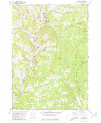
1981 Map of Chelsea
USGS Topo · Published 1981About this map
The First Branch White River winds through the heart of this Orange County landscape, anchoring the valley settlements of Chelsea, North Tunbridge, and Tunbridge. The terrain is defined by a series of prominent peaks and ridgelines, including Holt Hill, Brocklebank Hill, and Whitney Hill, which hem in the narrow river corridors. This early 1980s data reflects a rural Vermont infrastructure where several historic timber spans, such as the Larkin Covered Bridge and Mill Covered Bridge, remained vital parts of the local transit network alongside unpaved routes like Dickerman Road.
Find a feature on this map
44 named features on this map. Tap any name to fly to it.
Don’t see what you’re looking for? This feature index may not catch every label — zoom into the map to look around manually.
Map Details
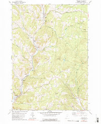
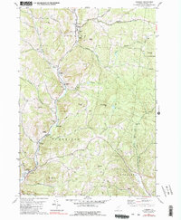
Editions of this 1981 Chelsea Map
3 editions found
Other maps of this area

1896 · Strafford
USGS Topo · 1:62,500

1919 · Royalton
USGS Topo · 1:62,500

1922 · Barre
USGS Topo · 1:48,000

1924 · Barre
USGS Topo · 1:62,500

1924 · Randolph
USGS Topo · 1:48,000

1926 · Randolph
USGS Topo · 1:62,500

1944 · Strafford
USGS Topo · 1:62,500

1947 · Corinth
USGS Topo · 1:62,500

1948 · East Barre
USGS Topo · 1:62,500

1950 · Glens Falls
USGS Topo · 1:250,000