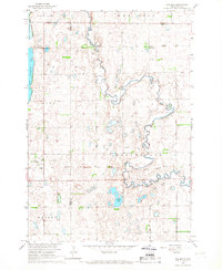
1966 Map of Chelsea
USGS Topo · Published 1967About this map
Snake Creek meanders across this prairie landscape at the junction of Faulk, Spink, Brown, and Edmunds counties. The small settlement of Chelsea serves as a primary local landmark, situated near an Old Railroad Grade that speaks to the changing transportation networks of mid-century South Dakota. The survey, conducted for the development of the Missouri River Basin, reveals a rural economy shaped by natural water bodies and small-scale resource extraction. Notable landmarks include Trinity Ch and a local Cem, alongside the Bible Sch in New Hope. To the south and west, the terrain is dotted with significant basins and wetlands, including Alkali Lake and the split waters of North Scatterwood Lake and South Scatterwood Lake. Numerous Grave Pits and gravel extractions are scattered throughout the northern townships, indicating the physical impact of local industry on the glacial till.
Find a feature on this map
18 named features on this map. Tap any name to fly to it.
Don’t see what you’re looking for? This feature index may not catch every label — zoom into the map to look around manually.
Map Details
Editions of this 1966 Chelsea Map
This is the sole edition of this map. No revisions or reprints were ever made.
Other maps of this area

1899 · Northville
USGS Topo · 1:125,000

1954 · Aberdeen
USGS Topo · 1:250,000

1956 · Aberdeen
USGS Topo · 1:250,000

1960 · Rudolph
USGS Topo · 1:24,000
1960 · Northville
USGS Topo · 1:24,000
1960 · Athol
USGS Topo · 1:24,000

1966 · Cresbard SE
USGS Topo · 1:24,000
1966 · Northville SW
USGS Topo · 1:24,000
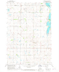
1966 · Cresbard NE
USGS Topo · 1:24,000
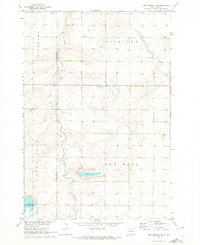
1970 · Lake Parmley SW
USGS Topo · 1:24,000