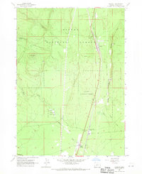
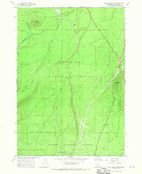
1967 Map of Chemult
USGS Topo · Published 1970About this map
Chemult serves as the central hub of this central Oregon landscape, where the Southern Pacific and Great Northern rail lines converge within the Winema National Forest. The map documents a corridor of transit and resource management, featuring the Diamond Lake (Siding) and infrastructure like a Pipeline, an Airway Beacon, and a Landing Strip near Beaver Marsh. Industrial activity is evident through several Quarries and a Pumice Pit scattered along the geological transition toward Walker Rim. This 1960s survey illustrates a forest-based economy in transition, where legacy infrastructure like the Old Railroad Grade sits alongside active facilities such as a Ranger Station and Fire Sta, reflecting the post-war coordination of timber interests and federal land oversight.
Find a feature on this map
25 named features on this map. Tap any name to fly to it.
Don’t see what you’re looking for? This feature index may not catch every label — zoom into the map to look around manually.
Map Details
Editions of this 1967 Chemult Map
This is the sole edition of this map. No revisions or reprints were ever made.
Other maps of this area
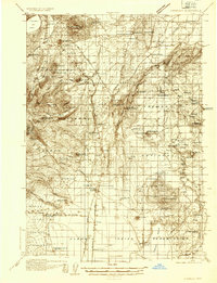
1935 · Chemult
USGS Topo · 1:96,000
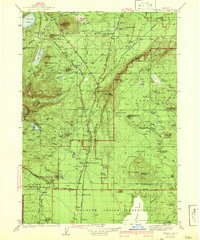
1941 · Chemult
USGS Topo · 1:125,000

1955 · Crescent
USGS Topo · 1:250,000

1957 · Crescent
USGS Topo · 1:250,000

1958 · Crescent
USGS Topo · 1:250,000
1967 · Burn Butte
USGS Topo · 1:24,000
1967 · Muttonchop Butte
USGS Topo · 1:24,000
1967 · Miller Lake
USGS Topo · 1:24,000
1967 · Mazama
USGS Topo · 1:24,000
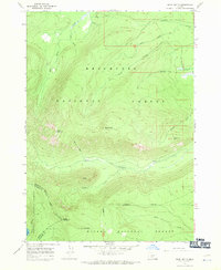
1967 · Walker Mtn
USGS Topo · 1:24,000