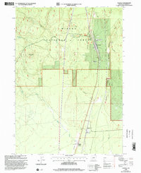
1999 Map of Chemult
USGS Topo · Published 2002About this map
The timber and transit corridor of Winema National Forest is well-defined in this late-twentieth-century study of the eastern Cascade slope. The settlement of Chemult serves as the focal point for regional infrastructure, positioned between the striking elevation of Walker Rim to the east and the watershed of Deer Creek. The presence of the Burner Sawmill and multiple Pumice Pits highlights the industrial character of the landscape, where natural resource extraction and transport are paramount.
Find a feature on this map
18 named features on this map. Tap any name to fly to it.
Don’t see what you’re looking for? This feature index may not catch every label — zoom into the map to look around manually.
Map Details
Editions of this 1999 Chemult Map
This is the sole edition of this map. No revisions or reprints were ever made.
Other maps of this area

1935 · Chemult
USGS Topo · 1:96,000

1941 · Chemult
USGS Topo · 1:125,000

1955 · Crescent
USGS Topo · 1:250,000

1957 · Crescent
USGS Topo · 1:250,000

1958 · Crescent
USGS Topo · 1:250,000
1967 · Burn Butte
USGS Topo · 1:24,000
1967 · Chemult
USGS Topo · 1:24,000
1967 · Muttonchop Butte
USGS Topo · 1:24,000
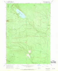
1967 · Miller Lake
USGS Topo · 1:24,000
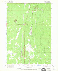
1967 · Mazama
USGS Topo · 1:24,000