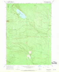
1967 Map of Miller Lake
USGS Topo · Published 1970About this map
Miller Lake serves as the central focal point of this high-altitude landscape, situated along the shared border of the Umpqua National Forest and Winema National Forest. The 1967 field-checked topography reveals a terrain defined by volcanic peaks and drainage patterns, including Adell Butte, Tipsoo, and Red Cone. Of particular interest to historical researchers is the Old Indian Treaty Boundary that cuts across the southern portion of the sheet, marking a significant legal and cultural demarcation through the woods. Recreational development is evident through the Digit Point Campground and a network of pack trails and a Jeep Trail, while the hydrology is characterized by numerous small springs such as Forked Horn Springs and Fire Spring which feed into streams like Miller Creek and Sink Creek.
Find a feature on this map
25 named features on this map. Tap any name to fly to it.
Don’t see what you’re looking for? This feature index may not catch every label — zoom into the map to look around manually.
Map Details
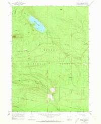
Editions of this 1967 Miller Lake Map
2 editions found
Other maps of this area

1917 · Diamond Lake
USGS Topo · 1:125,000

1935 · Chemult
USGS Topo · 1:96,000

1941 · Chemult
USGS Topo · 1:125,000

1955 · Crescent
USGS Topo · 1:250,000

1956 · Diamond Lake
USGS Topo · 1:62,500

1956 · Summit Lake
USGS Topo · 1:62,500

1957 · Crescent
USGS Topo · 1:250,000

1958 · Crescent
USGS Topo · 1:250,000

1958 · Roseburg
USGS Topo · 1:250,000

1959 · Roseburg
USGS Topo · 1:250,000