Loading...
Loading map...2022 Map of Cheraw
USGS Topo · Published 2022About this map
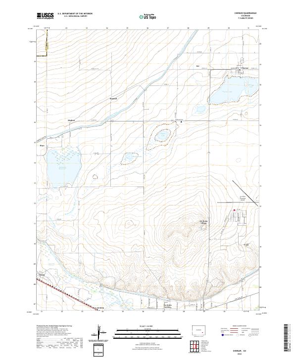
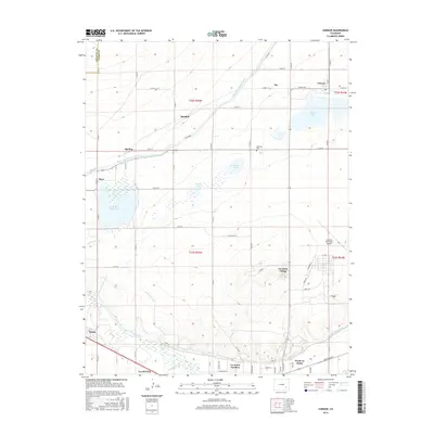
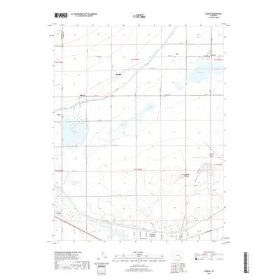
The Arkansas River and an extensive network of irrigation infrastructure define the landscape south of Cheraw. This agricultural region relies on a complex system of waterways, including the Fort Lyon Canal, Wasson Lateral, and Holbrook Outlet Ditch, which feed numerous surface water bodies like Holbrook Reservoir and Taylor Lake. The settlement pattern follows these water sources and the established road grid, with small hubs at Orr, Randall, and Shelton.
Find a feature on this map
64 named features on this map. Tap any name to fly to it.
Don’t see what you’re looking for? This feature index may not catch every label — zoom into the map to look around manually.
Map Details
Date Portrayed2022
Date Published2022
PublisherU.S. Geological Survey
Map TypeTopographic
Scale1:24,000
Physical Dimensions24 x 29 inches
Editions of this 2022 Cheraw Map
This is the sole edition of this map. No revisions or reprints were ever made.
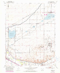
Historical Maps of La Junta Through Time
6 maps found
Featured Locations
Source Details
SourceU.S. Geological Survey
CopyrightPublic Domain