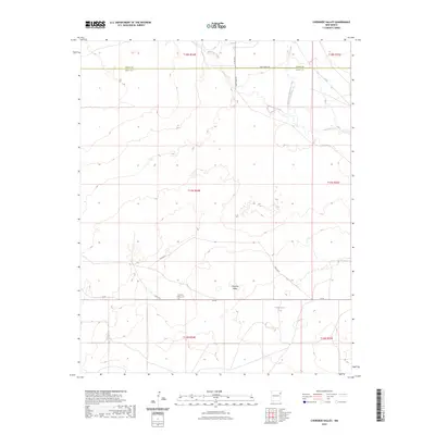
2023 Map of Cherokee Valley
USGS Topo · Published 2023About this map
Cherokee Valley occupies a quiet section of the high plains along the Union Co Quay Co line in northeastern New Mexico. This 2023 survey provides a current view of the rural landscape, where the seasonal drainage of Minneosa Creek and its North Fork cut through the terrain. The community infrastructure is centered around a network of secondary routes such as Quay Road 102 and Co Rd C085, reflecting the area's continued reliance on ranching and agricultural transport. For those researching local heritage, the Cherokee Valley Cem stands as a primary site of historical interest, while the presence of the Vandergrift Tank indicates the vital importance of water management in this arid environment.
Find a feature on this map
19 named features on this map. Tap any name to fly to it.
Don’t see what you’re looking for? This feature index may not catch every label — zoom into the map to look around manually.
Map Details
Editions of this 2023 Cherokee Valley Map
This is the sole edition of this map. No revisions or reprints were ever made.
Other maps of this area

1954 · Tucumcari
USGS Topo · 1:250,000

1958 · Tucumcari
USGS Topo · 1:250,000

1966 · Rosebud
USGS Topo · 1:24,000

1966 · Ione
USGS Topo · 1:24,000

1966 · Cherokee Valley
USGS Topo · 1:24,000

1966 · Lockney
USGS Topo · 1:24,000

1966 · Mc Carty Ranch
USGS Topo · 1:24,000

1966 · Mc Cloy Ranch
USGS Topo · 1:24,000

1971 · Kerlin Hill
USGS Topo · 1:24,000

1971 · Centerville Corner
USGS Topo · 1:24,000